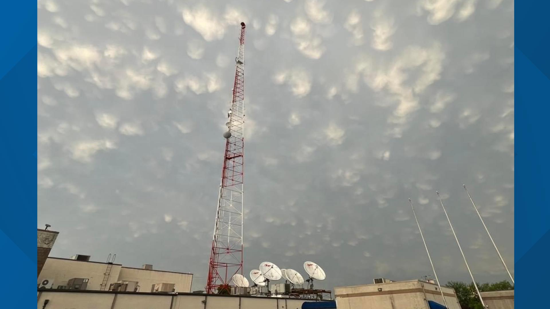
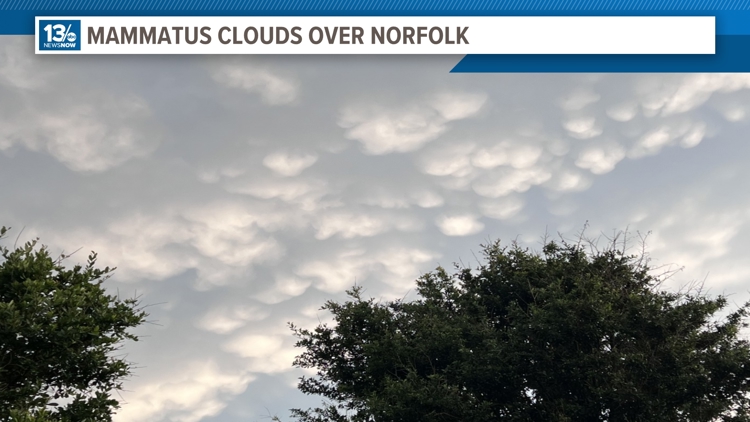
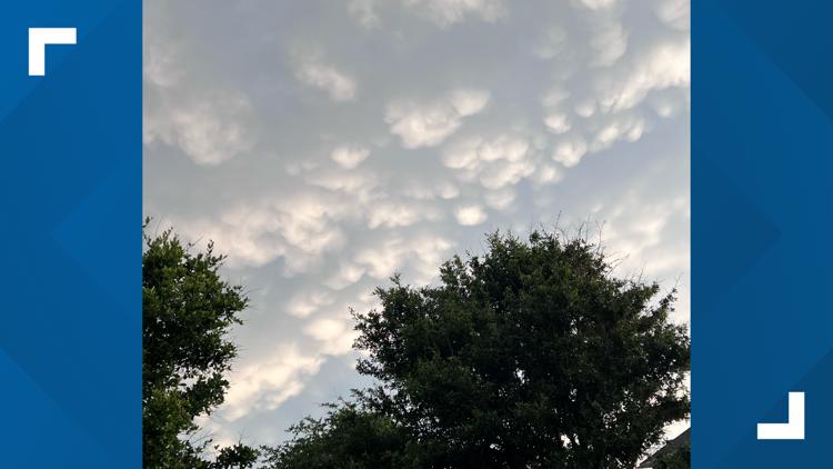
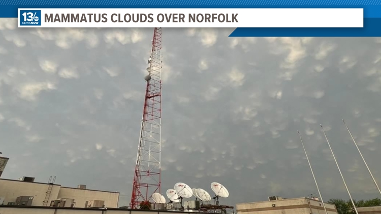
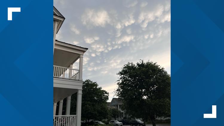
NORFOLK, Va. — Did you look at the sky on Monday as the severe storms exited the region? If you did, you might have been treated to a really cool and not-too-common sight in our area: mammatus clouds!
Now, these cloud features are not exceptionally rare. You can find them more frequently in the central United States where severe storms and supercells occur more commonly. But to see them on Memorial Day over Hampton Roads, Virginia, as powerful storms were moving off to the east, was a thrill for cloud watchers.
Mammatus clouds derive their name from the Latin word mamma, meaning "udder" or "breast". They are not their own genus or variety of cloud, but rather a feature on a "parent" cloud. In Monday's case, the parent cloud was a massive cumulonimbus cloud that produced severe wind gusts and torrential rain over parts of the area.
The mammatus clouds or pouches developed on the base of the rear flank or skirt of the exiting storm. Cold air was sinking in that part of the parent cloud, and the downdraft produced those downward developing puffs of clouds.

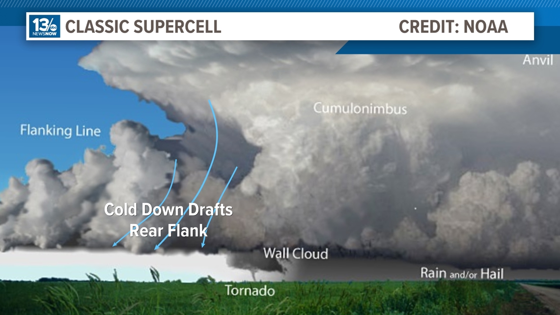
While they are frequently associated with powerful storm clouds, mammatus clouds can also develop off stratus clouds, altocumulus, and even cirrus clouds. There is still some mystery surrounding the development of the features and what it really tells us about the atmosphere they form in.
While they can be associated with severe storms, that isn't always the case. They typically have no significant correlation or impact on the observed weather on the ground.
However, pilots and aviators are wise to avoid them as they often signal air turbulence in the clouds.
Although they can appear ominous and threatening and are sometimes confused by inexperienced spotters for tornadoes, there is no direct correlation between mammatus clouds and tornadoes. They can be seen on the base of tornadic storm clouds, but also on non-tornadic thunderstorms, as well as other cloud types altogether.
Late-day sunlight can highlight and provide spectacular views of the clouds!

