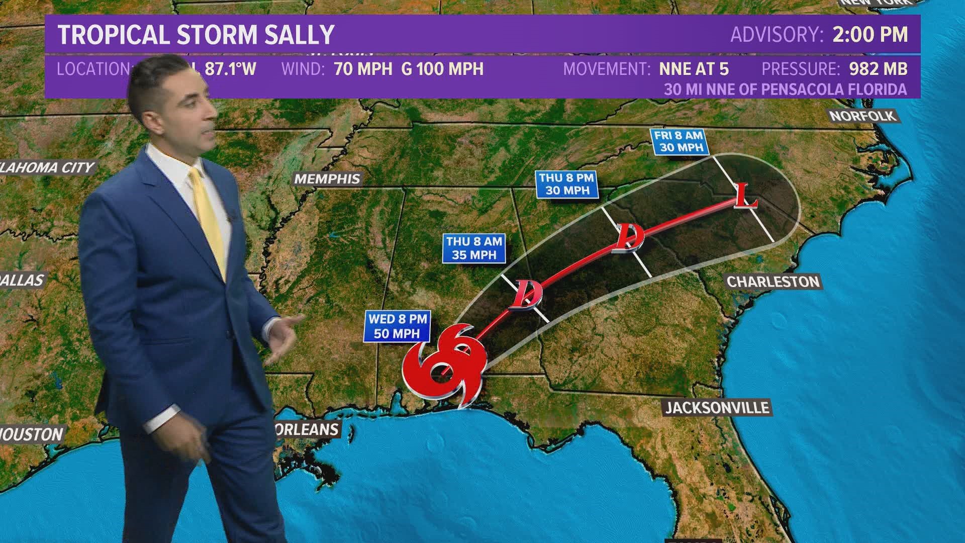
WASHINGTON — Sally was upgraded and regained strength to a Category 2 hurricane Tuesday night and made landfall around 6 a.m. (5 a.m. CDT) Wednesday morning near Gulf Shores, Alabama. The storm is a slow mover and that means it is dropping tons of rainfall, which is expected to cause widespread flooding.
Overnight Tuesday the storm was packing 105 mph winds and moving north-northeast at only 2 mph.
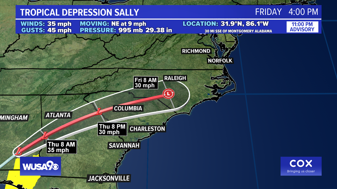
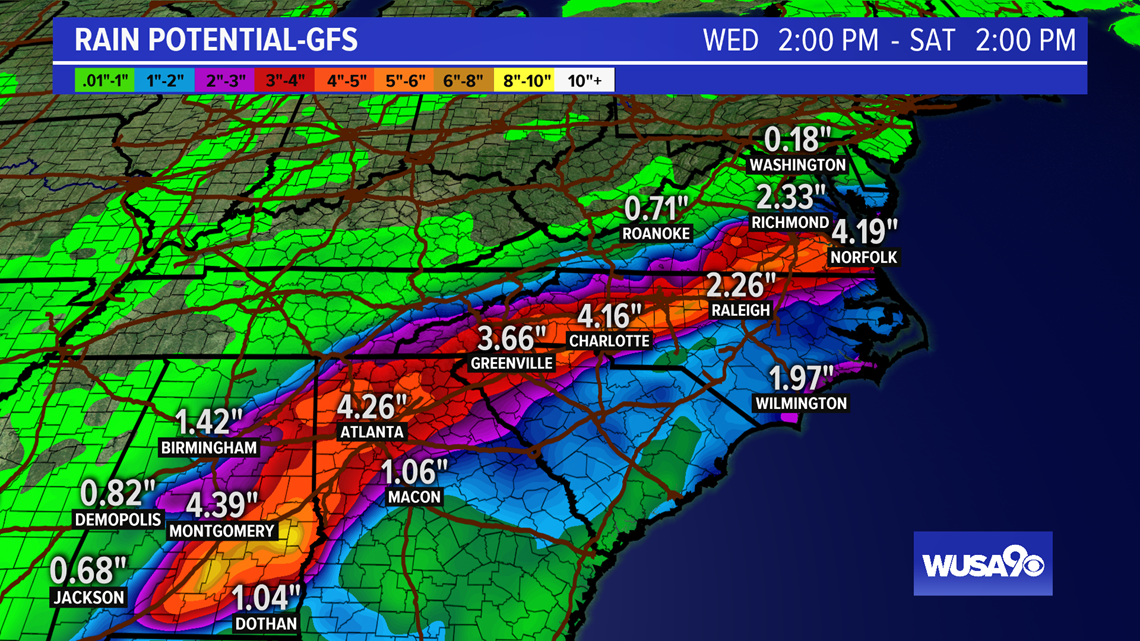
The eventual impact on the DMV is minimal. The remnants of Sally could bring a showers and even some rain, mostly south of D.C., on Thursday afternoon into early Friday morning. The models are trending bringing rain from Sally farther north.
In the south, heavy rains of 6 to 20 inches fell along the coasts of Alabama, Mississippi and far western Florida, with an isolated 30 inches of rain in a few locations.
To learn more about the storm from the National Hurricane Center, click here.
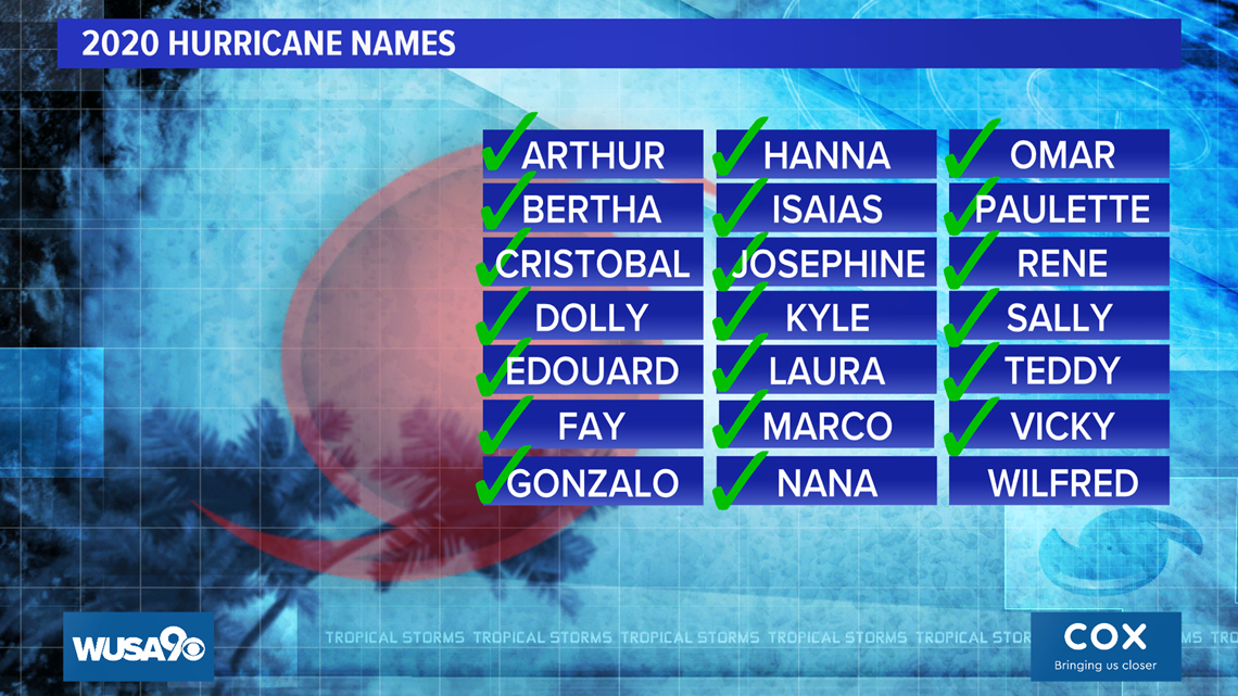
What happens when we run out of names ?
Check out the graphics below for more information:


Latest Sally Advisory from the National Hurricane Center


Latest Sally forecast discussion from the National Hurricane Center


