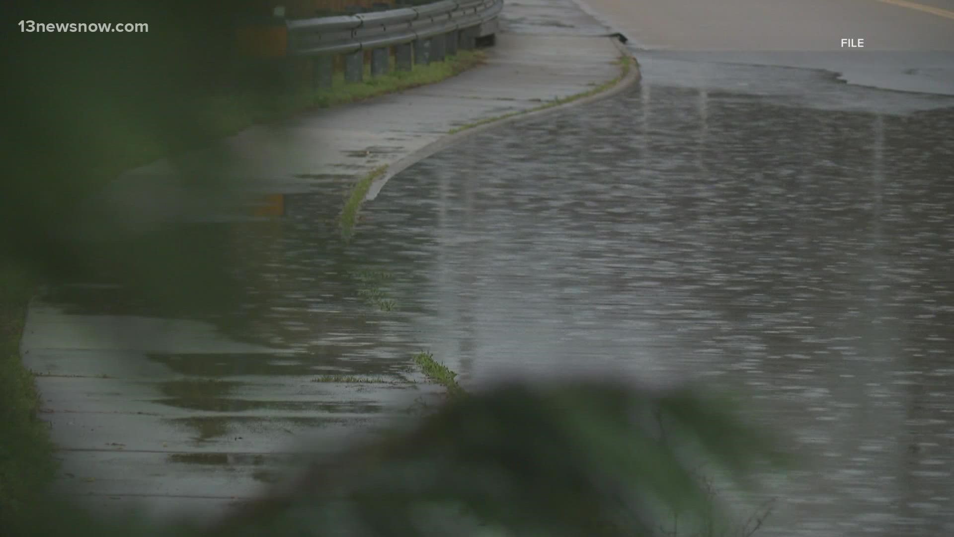
NORFOLK, Va. — For everyone trying to make plans for Mother's Day, look out for flooding. Coastal food warnings will take effect starting Sunday.
"The unique thing about this event is we're going to get wind for three days and flooding for three days," said Skip Stiles, executive director of nonprofit environmental group Wetlands Watch.
He believes our area's rain won't be the culprit behind forecasted flooding in the next few days. Instead, Stiles says an offshore storm and wind will push water onto land.
"Think about [...] the flooding on January 3, it will be about the same. Except in January, the water went up and went away," said Stiles. For us, this time, it's going to stay for about three days."
On Hampton Boulevard in Norfolk, for instance, people in the areas near Magnolia Avenue through the Larchmont branch library are preparing for the potential of high tides Sunday, Monday and Tuesday.
"Going through Tuesday, with the understanding as well that the low tides won't necessarily get out of that flood stage level," said Jim Redick, director of Norfolk Emergency Preparedness & Response.
Redick said to expect flooding in the usual spots, like The Hague, Tidewater Drive, Ocean View, as well as Boush Street and Olney Road in downtown Norfolk.
However, low-lying areas anywhere in Hampton Roads, like in Virginia Beach, are at risk.
"Our focus right now is on the flooding. We have our public works, they have their crews at the ready to close the downtown floodgates when it's appropriate," Redick added.
He also highly suggested drivers use the Waze app. People can access and report real-time information to avoid flooded roads.
If you need to move your car to higher ground, the City of Norfolk is allowing people to park at the York Street garage and the Brambleton lot for free.
For now, the plan is to have those spots open until noon on Monday. That timeline could change, depending on the weather.
City leaders told us Old Dominion University officials also opened their garages until Wednesday at 5 p.m.
Meanwhile, leaders with the North Carolina Department of Transportation are also staying ready. They said they're expecting rough weather along the coast Sunday until Wednesday.
"Every storm is different, but what typically happens is we get the worst over wash during high tide cycles," said NCDOT Division 1 Communications Officer Tim Hass.
NC12 crews spent Friday shoring up the dune line on hot spots on the Outer Banks.

