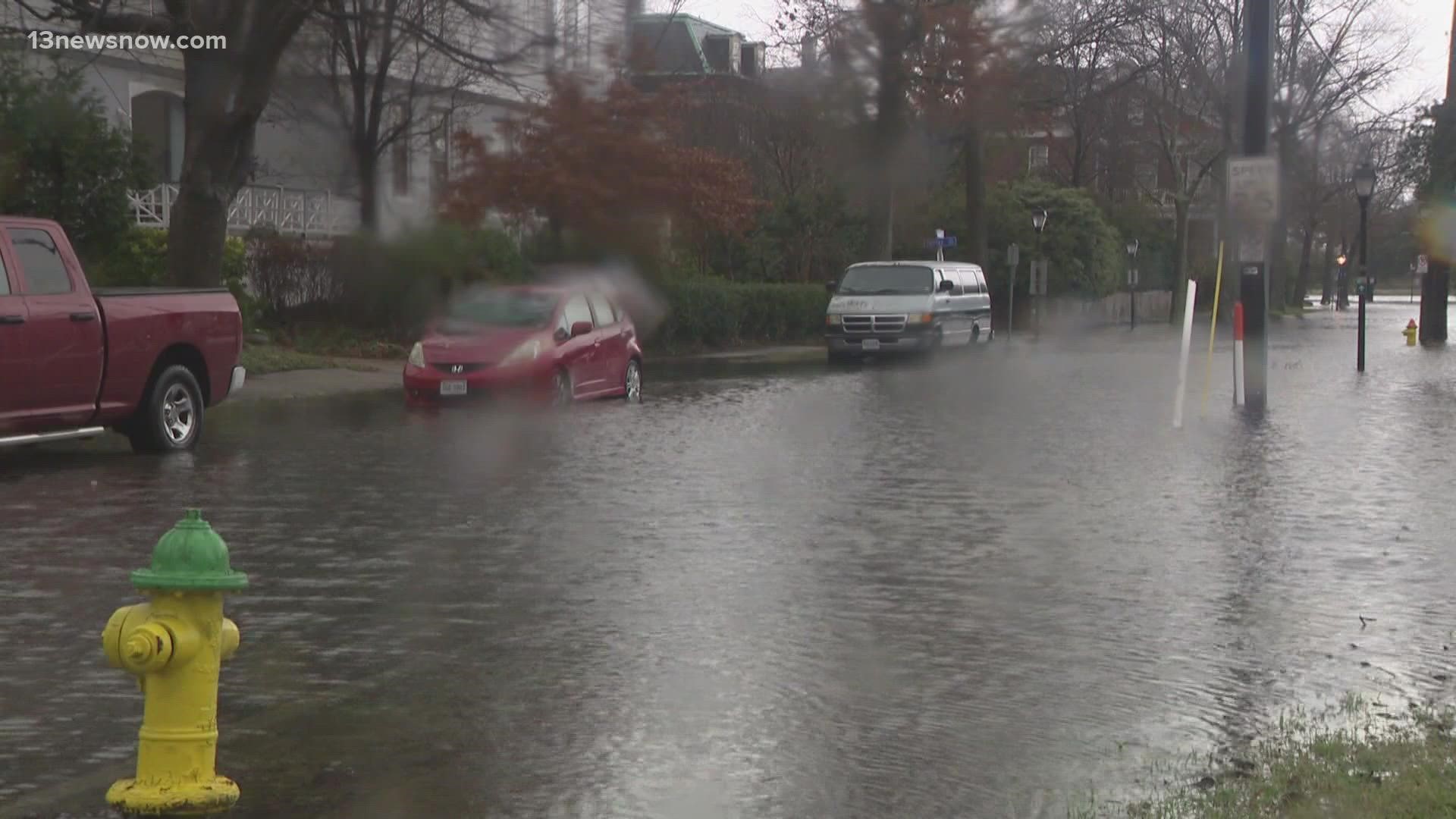
NORFOLK, Va. — You can track traffic, crashes and now flooded roads on the app Waze. It’s part of a new program launched in Norfolk piloted by the climate tech company FloodMapp.
"To help guide you around major flooded roadways,” said Paul Robinson, the executive director of RISE Norfolk.
He said this is a necessary program, as flooded roads are all too common across Hampton Roads. Waze users in Norfolk and Virginia Beach will receive alerts of flooding along their route.
They can even update the app with flooded roads they see. Kyle Spencer, the deputy resilience officer in Norfolk, hopes this will mitigate flood risks as the city develops other plans to prevent flooding.
“We look at this as a tool in the toolbox to help us adapt to climate change and give us something that can help folks in the meantime while we work on the big projects," Spencer said. "We’re working on large flood control projects.”
The new feature launched about a month ago. Spencer said he’s seeing a lot of users testing it out.
“On the Waze live map, the peak of the storm yesterday I’m sure we were alerting upwards of thousands of locations,” Spencer said.
It is still in its testing phase, but Robinson said FloodMapp is already thinking ahead – planning to expand the software to more drivers.
“Also emergency services, public transportation and commercial vehicles too. So, we want this information to get to everyone," Robinson said. "Waze is just our initial platform."
FloodMapp received funding, business mentorship and access to the living laboratory of Hampton Roads to develop the feature as the winner of the RISE Urban Mobility Resilience Challenge.
RISE, a Norfolk-based nonprofit funded through the Virginia Department of Housing and Community Development, accelerates innovation and business growth around solutions to coastal communities’ critical resilience challenges.

