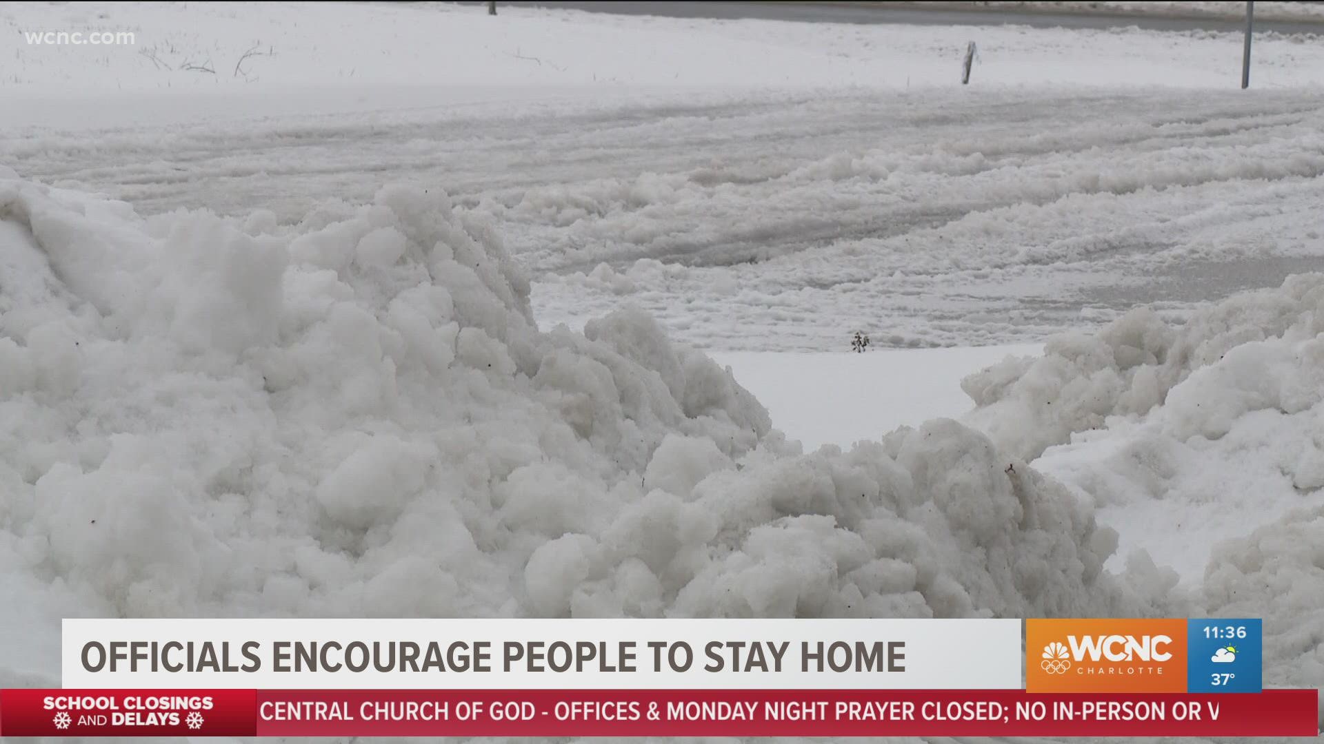
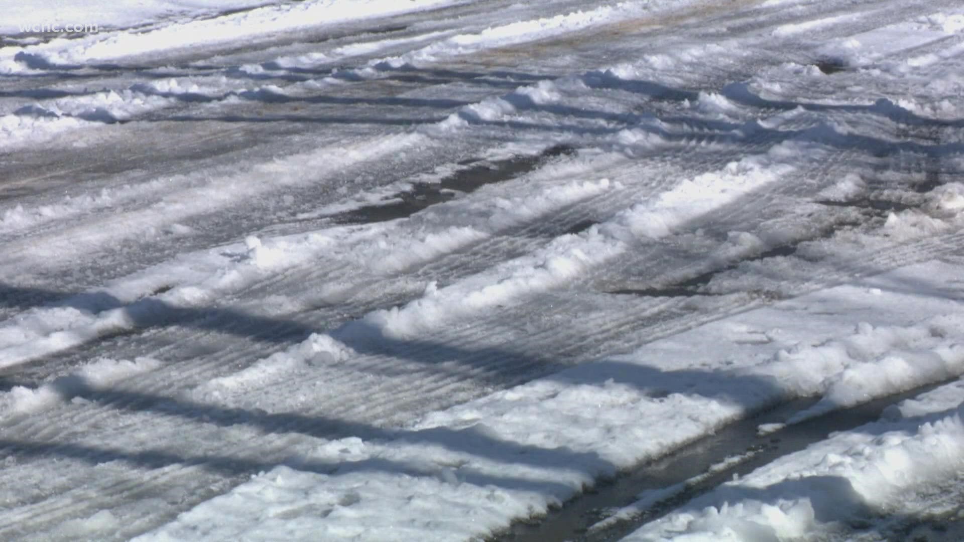
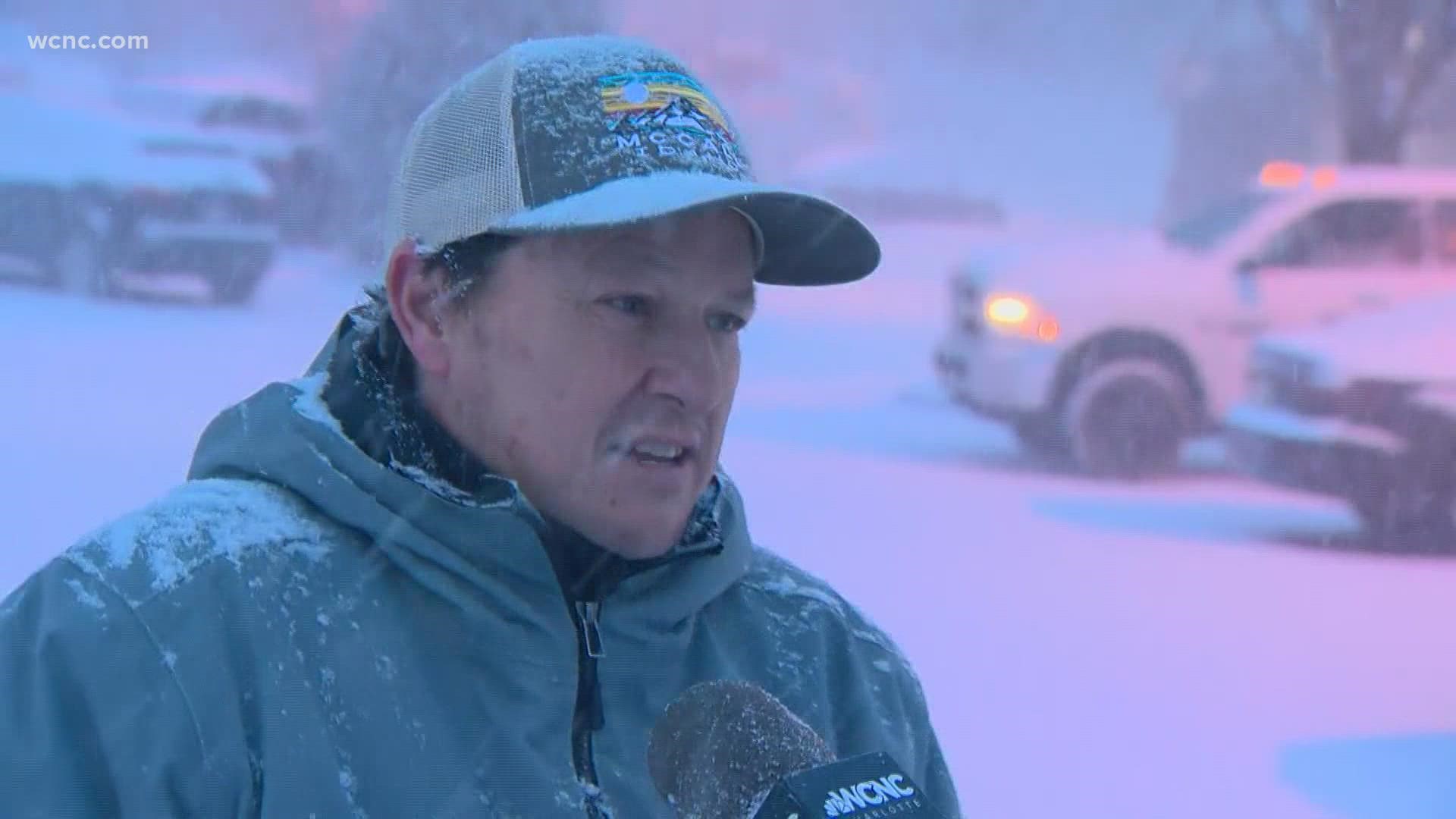
CHARLOTTE, N.C. — A winter storm that brought Charlotte its first measurable snowfall in nearly four years is gone but the Carolinas are still feeling its impacts with black ice covering roads and power outages leaving thousands of people in the cold.
First Warn forecaster Larry Sprinkle said Monday's black ice threat will remain through at least Tuesday, as any snow or ice that melts during the day will refreeze Monday night. Transportation officials are urging everyone to stay home unless travel is absolutely necessary.
Interstate 77 saw two crashes in the same area Monday morning, with two vehicles flipping over near John Belk Freeway and West Boulevard. One of the incidents was caught on camera, with a pickup truck skating on ice before slamming into a barrier and flipping onto its side.
Sprinkle said Monday night will be the coldest of the year so far, with Charlotte expected to fall into the 20s overnight.
"Everything that thawed yesterday and today has frozen over and formed a sheet of ice on the roads," Sprinkle said.
And with the cold air lingering in the Carolinas, Sprinkle and the First Warn Storm Team are monitoring another chance of wintry weather on Friday. Sprinkle said there's the opportunity for snow flurries or showers, but it's still too early to project any possible accumulation or impacts.
Duke Energy said Monday morning that its crews are working to restore power for over 43,465 customers in the Carolinas. As of 3 p.m. Monday, repair crews had restored power to more than 250,000 customers in the Carolinas -- but 16,000 North Carolina customers and 8,000 South Carolina customers were still without power.
Fortunately, power outages weren't as widespread across the region as we saw more sleet than freezing rain, which sticks to power lines and tree branches more quickly.
Freezing rain is precipitation that falls as a liquid and freezes when it makes contact at the surface. Chief Meteorologist Brad Panovich said it only takes about a quarter-inch of freezing rain accumulation to take down power lines and cause widespread power outages.
"One question I get a lot is 'how can it be 28 degrees and not snowing?' Well, the temperature at the surface is 28 but up in the atmosphere, it's about 38 to 40 degrees," Panovich said. "So snow pellets, or sometimes even flakes, melt and freeze again, so we get sleet. If that warm layer gets thicker, there's a good chance it switches to freezing rain."
In the North Carolina mountains, heavy snow was seen throughout the afternoon Sunday. Some areas, including Boone, saw up to a foot of snow by the evening.
Preliminary snow totals around the Carolinas
- Enochville, NC: 2.5 inches
- Mooresville, NC: 3 inches
- Waxhaw, NC: 2 inches
- Patterson, NC: 6 inches
- Drexel, NC: 5.5 inches
- Morganton, NC: 7 inches
- Davidson, NC: 2.5 inches
- Gastonia, NC: 2.8 inches
North Carolina Gov. Roy Cooper said the National Guard and other state-operated resources were on standby from the mountains to the coast as the winter storm affects everyone. Transportation secretary Eric Boyette urged everyone to stay home unless they absolutely must leave. NCDOT has over 1,700 trucks and graders ready to clear roads, as well as other heavy equipment to remove downed trees that block highways.


