NORFOLK, Va. — We're nearing the end of January and dead into the winter season. So where's the snow?
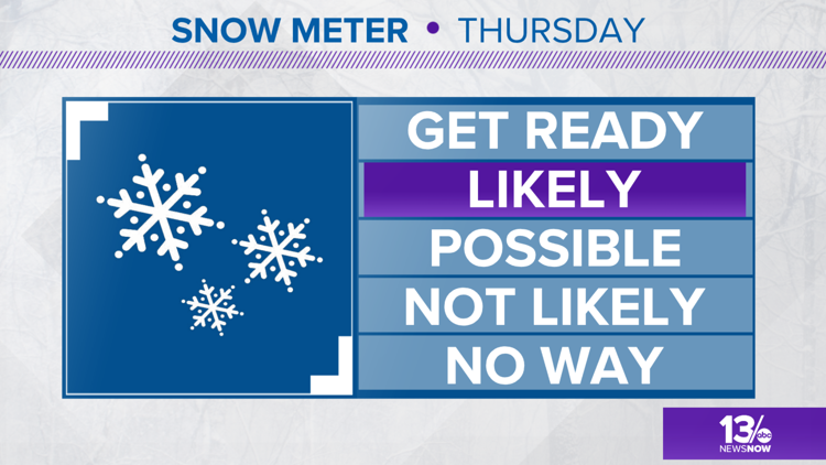
Our 13News Now weather team predicts the region could see some snowfall later this week! However, there are a few things to keep in mind right now.
The first is that the chances for snow (and how much snow) are all dependent on the amount of cold air the area gets Wednesday evening during which we'll get some rainfall.
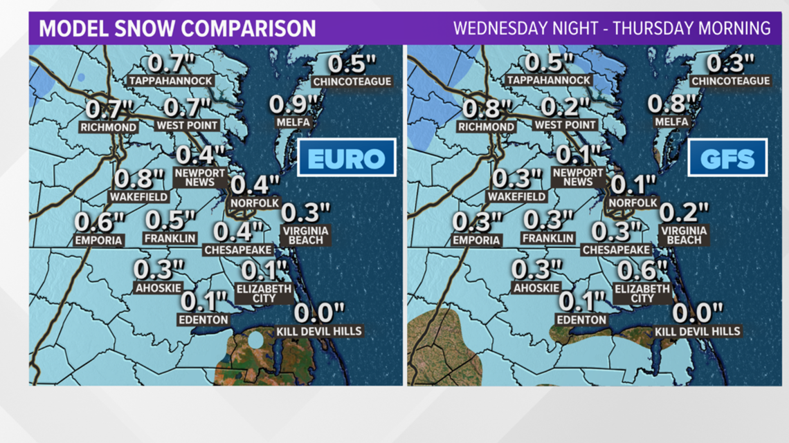
One global model shows that rain could develop into a wintry mix of rain and snow overnight. Then, come Thursday morning, that mix could change over into just snow. Right now, that model shows this could be a quick event with snowfall ending early afternoon.
Will the snow stick? Probably not, according to our meteorologists. Much of the region will likely get less than an inch, but there might be some accumulation on grassy surfaces inland and away from the coast.


The two long-range computer models above do not take melting into account, so any snow that falls on wet surfaces will likely melt on contact.
We're still a few days out, so the latest models and tracks will pinpoint the likelihood of snow and how many inches more accurately within the next couple of days.
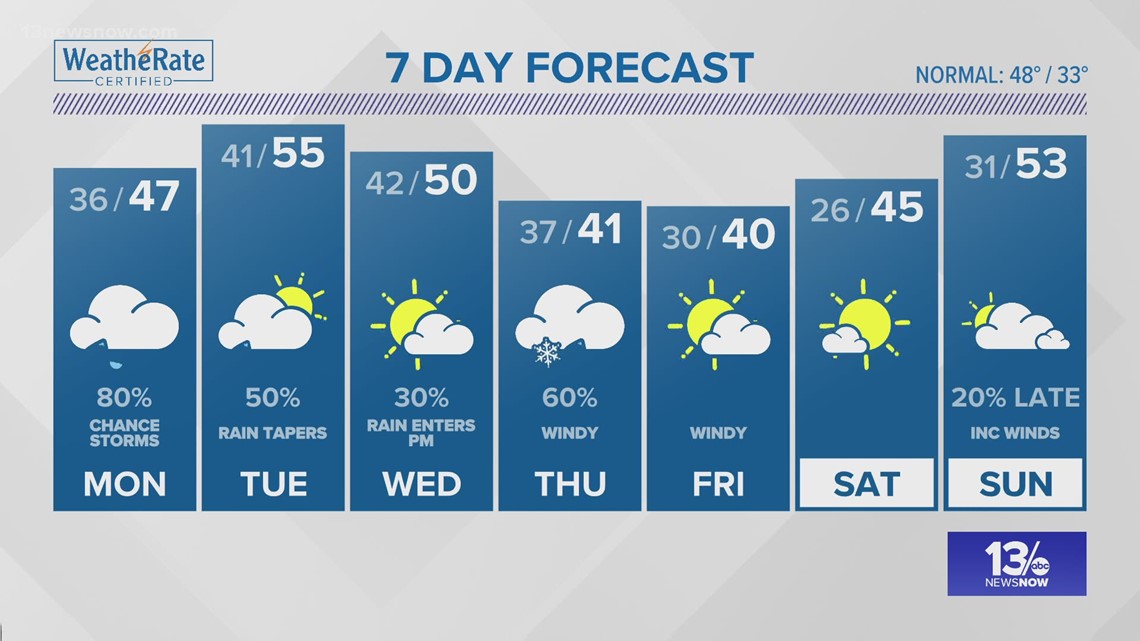
As of Monday morning, it looks like parts of the area, as well as some areas in northeastern North Carolina, will get some snowfall, or at least a wintry mix. There's still a very slight chance this could turn out to be just a miserable cold rain.
Warmer days are ahead with rain developing throughout the week before Thursday.


