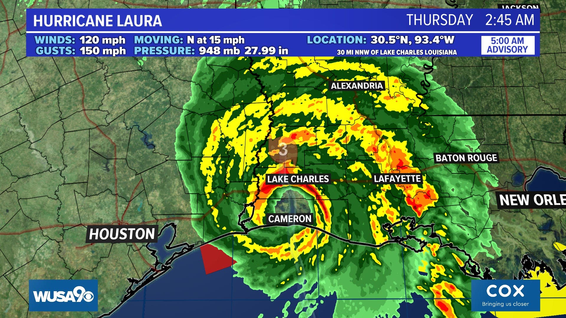
WASHINGTON — Laura made landfall near Cameron, Louisiana around 2 a.m. (EDT) Thursday as a Category 4 hurricane with winds of 150 mph and gusts up to 185 mph.
DMV Impacts:
What is left of Laura will pass across the DMV Saturday. Laura will no longer be a hurricane or tropical storm when it arrives in the D.C. area, but it will increase our threat for heavy rain and thunderstorms.
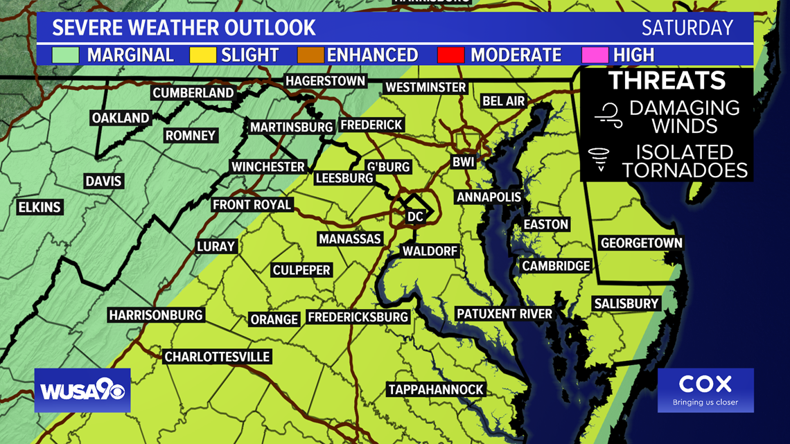
Some flooding is possible. Isolated tornadoes cannot be ruled out especially in southern Virginia.
The Storm Prediction Center has placed parts of the DMV in the "Slight Risk" category for severe weather Saturday.
The critical timing for heavy rain will be mid-morning through sunset on Saturday, from 10 a.m. - 5 p.m.

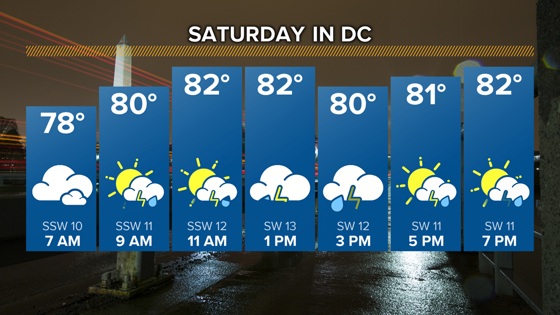

Rain totals Saturday will range from just under 0.5 inches to nearly 2-inches.
The WUSA 9 Weather Team will monitor any changes to the track of Laura in our area.
Laura
This is the radar form 11:30 p.m. Wed to 5:30 a.m. Thu as Laura made landfall over southwest Louisiana.
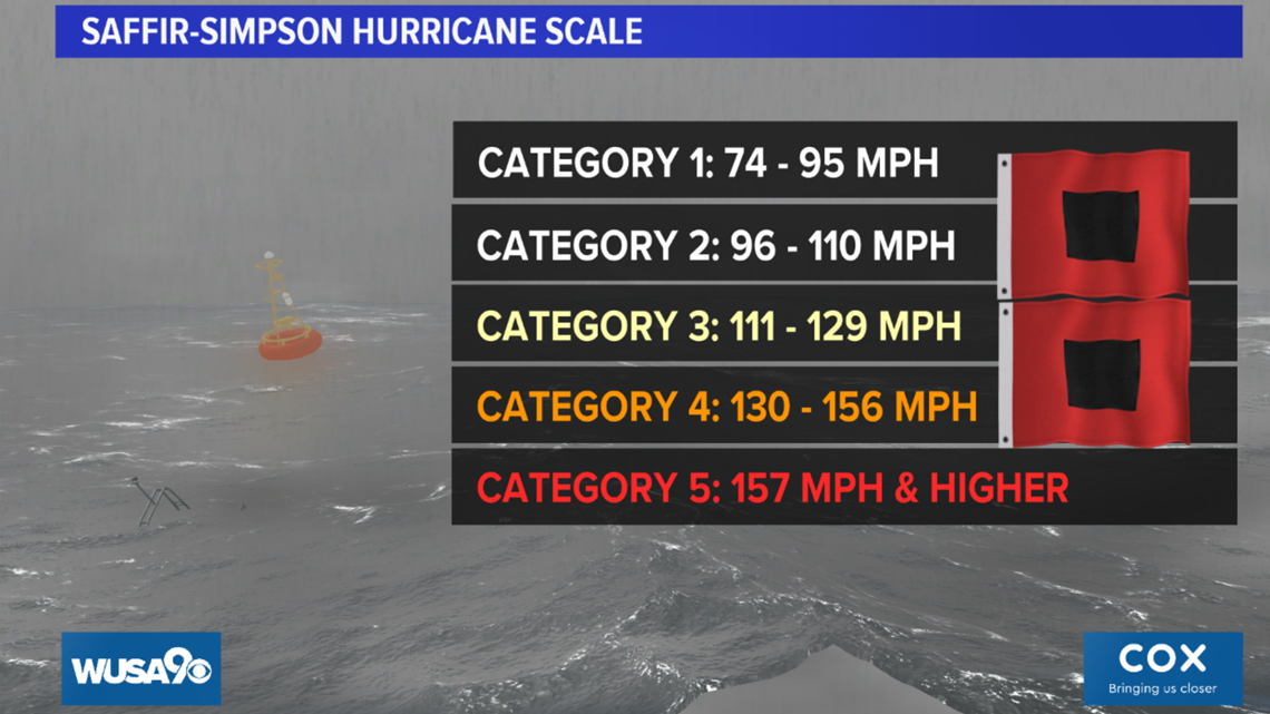
Laura was considered a major hurricane at landfall. A major hurricane is Category 3 and above with winds of 111 mph and stronger. A Category 5 hurricane has winds of 157 mph and stronger.


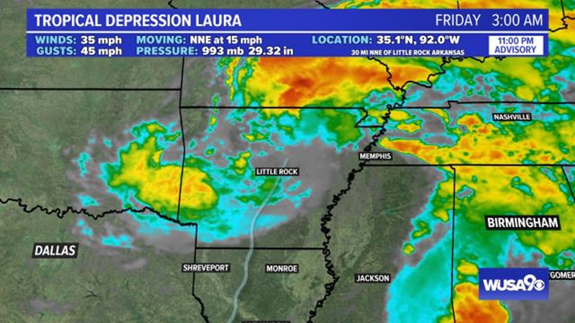

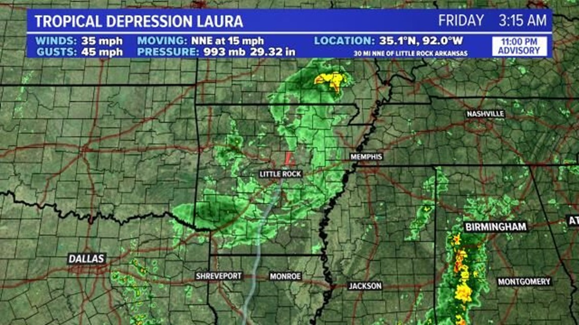
Here is the latest advisory of Laura from the National Hurricane Center:
Here is the latest forecast discussion from The National Hurricane Center:

