I know it's been a long time since Norfolk has seen significant snow. Norfolk International Airport hasn't recorded more than one inch of snow in 748 days as of today.
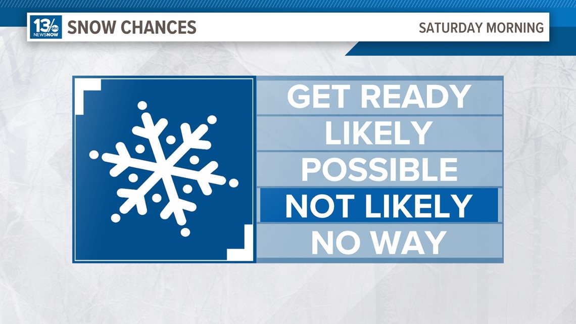
It doesn't look like our current snow drought is going to end this weekend.
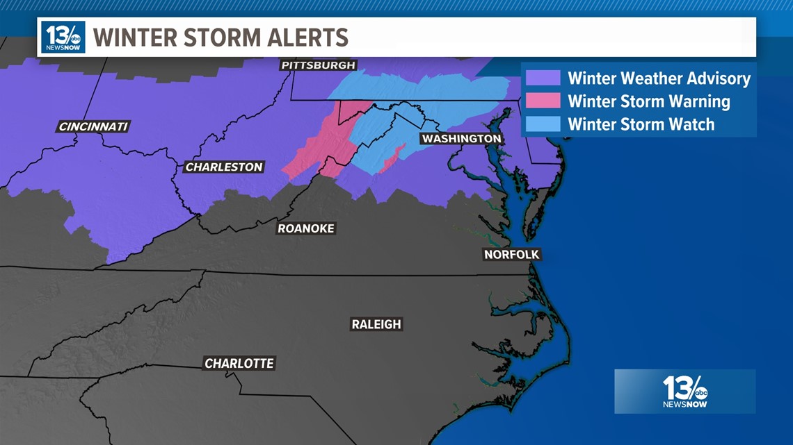
Models for several days have been pointing to snow or mixed precipitation chances late Friday night and early Saturday. The guidance has largely maintained the chances would be better over northern and some western parts of the Commonwealth.
Updates that came in Thursday night and early Friday morning are keeping with the trend of diminishing chances at seeing snow across most of Hampton Roads. Favoring a track farther to the north that both keeps our area milder and drier.


The timing for the system among the various models is pretty similar.
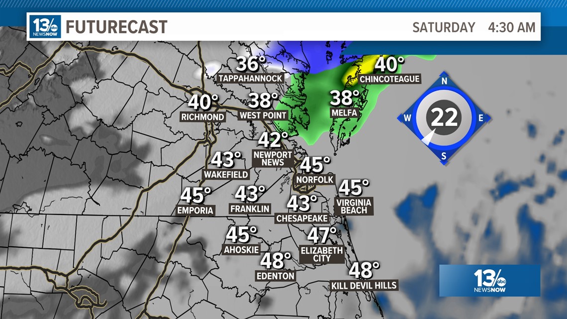
Overnight and toward sunrise, our rain chances will increase slightly, mainly over northern areas. Keep in mind, models indicating most of the overall moisture will even stay well north of the area. Temperatures are currently projected to be well-above freezing for much of the region through Saturday morning.
If some colder air is pulled down with the precipitation, it could get cold enough to support some mix or wet snow over far northern parts of the region.
The latest updates of our shorter range, higher resolution models, the GRAF and HRRR and NAM3k models aren't very bullish on our chances.


This is shaping up to be another near-miss for Hampton Roads snow lovers.


Check back with 13News Now for more weather updates as we get closer to Saturday morning!

