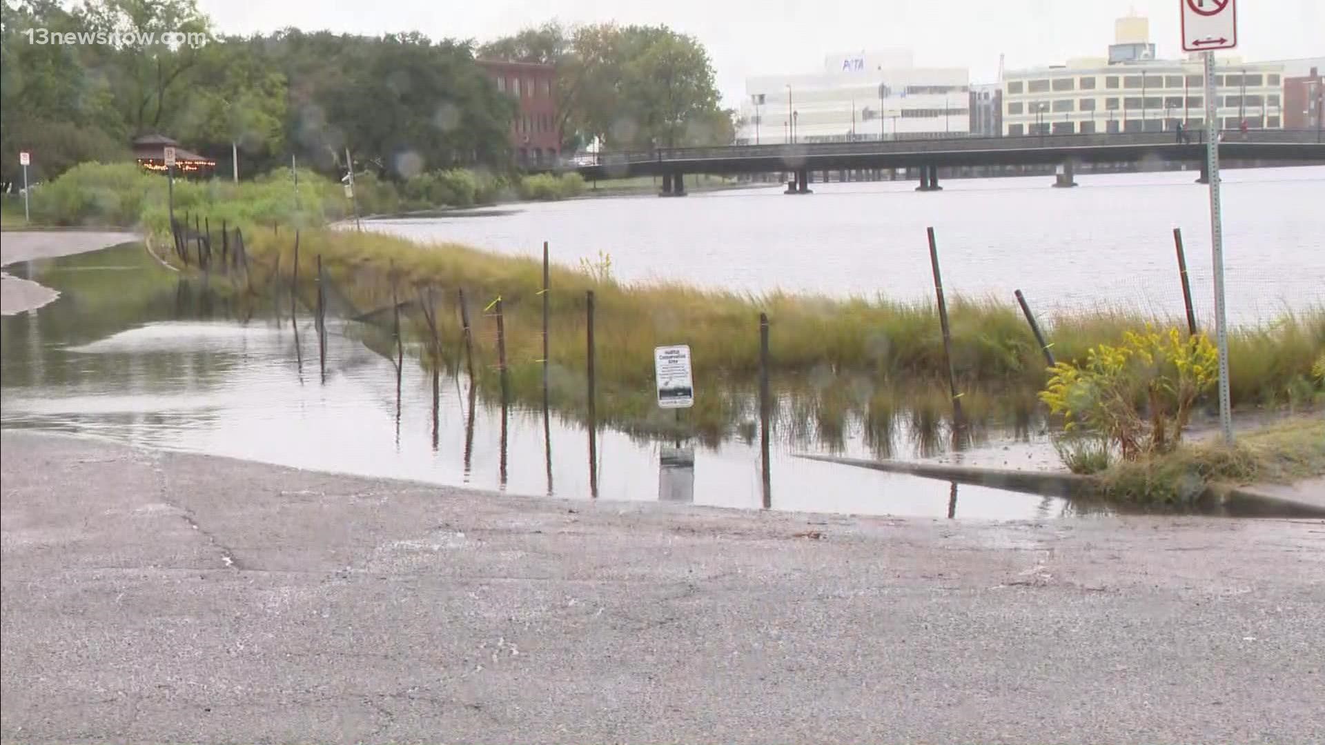
NORFOLK, Va. — Here in Hampton Roads, we aren't strangers to flooding. Many of us have dealt with it on some level every time it has rained more than an inch or two.
According to the Virginia Department of Emergency Management, there are over a million residents in the Tidewater area that are vulnerable to flood waters from hurricanes and other types of tropical storms.
“Outside of New Orleans, the Hampton Roads region is the most threatened area in the nation due to sea level rise and intense flooding caused by climate change,” Hampton Mayor Donnie Tuck said in an interview with 13News Now in 2021.
In the aftermath of Hurricane Ian, our region is expected to face above-average flooding levels due to a newly-formed nor'easter.
In light of this latest development, here are some resources that will help you know what to do and how to prepare for flooding events in the future.
Know Your Zone
Depending on where you live, you'll be assigned an evacuation zone. They're designated with the letters A through D, and by knowing your zone you can follow guidance and either leave your home or shelter-in-place during emergency weather events.
Zone D is generally the safest, and Zone A is generally most likely to require evacuation.
Guidance from officials can vary from weather event to weather event, based on the strength of the storm, speed and more.
Most cities have multiple zones that can differ even on a street-to-street basis.
While the majority of the Peninsula and Virginia Beach are in the "red" zone, it's still helpful to double-check if you aren't sure.
The "Virginia Know Your Zone" website tool allows you to enter your address and see where you are. Click here to access the tool.
If officials order an evacuation for an area, they say people should use these designated evacuation routes:
Peninsula
- Interstate 64 West
- Interstate 664 North
- U.S. Route 17 North
- U.S. Route 60 West
- Route 143
- During severe weather, the Jamestown-Scotland Ferry is removed from service and should NOT be considered part of your evacuation plan.
Southside
- 264 West and Interstate 64 Hampton Roads Bridge-Tunnel
- Interstate 664 North Monitor Merrimac Memorial Bridge-Tunnel
- U.S. Route 17 North
- U.S. Route 58 West
- U.S. Route 460 West
- Route 10 West
- The Chesapeake Bay Bridge-Tunnel is NOT an evacuation route. For closure at the CBBT, people can visit its website.
Eastern Shore
- All Eastern Shore residents will use U.S. Route 13 North toward Salisbury, Maryland.
Supplies/Resources
Know your supplies:
- Be sure to have plenty of water
- You should have a gallon of water per family member per day
- Stock up on non-perishable foods
Important supplies to have during hurricane season:
- Flashlight with extra batteries
- Battery operated radio
- Fire extinguisher
Have a communication plan:
- Have a plan set up for you and your family.
- Complete a contact card for all family members with names, numbers, and email addresses.
Prepare a first aid kit filled with:
- Bandages, antiseptic wipes, instant ice pack, adhesive tape, and scissors
If you need to reach your family, use your family communications plan or contact the American Red Cross at 1-800-RED-CROSS/1-800-733-2767 or visit the ARC Safe and Well website.
If you cannot return home and need shelter, text SHELTER + your ZIP code to 43362 (4FEMA) to find the nearest shelter in your area (example: shelter 12345).

