NORFOLK, Va. —
10:30 p.m. — Weather Alert Day ends
The Severe Thunderstorm Watch for much of the area has expired, although some rain and storms are still lingering.
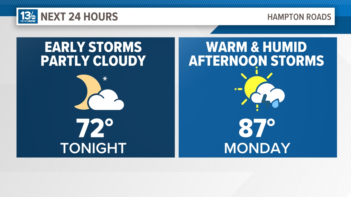
Monday may see a similar repeat as Sunday, with afternoon storms expected to develop and become widespread. The Storm Prediction Center has placed all of Hampton Roads under a Level 1 out of 5 for another severe threat.

5:05 p.m. — Severe Thunderstorm Warning for Sussex and Surry
A Severe Thunderstorm Warning has been issued for Sussex and Surry Counties until 5:45 p.m. Prince George and Dinwiddie counties are also under this warning.
The National Weather Service says the area around Waverly can expect the severe storms by around 5:35 p.m.
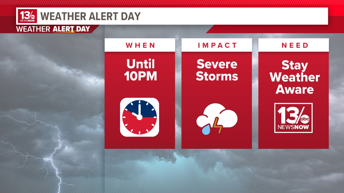
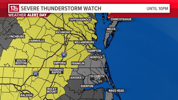
Sunday, August 18, 2024, has been designated a Weather Alert Day by 13News Now's meteorologist until 10 p.m. for a threat of strong to severe thunderstorms.
A cold front will slowly drop in from the northwest this afternoon and evening. Its interaction with an increasingly unstable air mass will trigger isolated to potentially widespread strong to severe thunderstorms, especially in areas west and northwest.
The National Weather Service has issued a Severe Thunderstorm WATCH for portions of Hampton Roads until 10 p.m. this evening. The main hazards in any storms that do become severe look to be gusty, damaging winds, and small hail.
The front will linger across the area into Monday so an additional Level 1 out of 5 severe outlook has been issued for tomorrow as well.