NORFOLK, Va. — The Atlantic Hurricane season is fast approaching - about a week away now - and with it, there will be a few minor changes in the way in which the National Hurricane Center (NHC) provides information to the public.
The hurricane season runs from June 1 through November 30, and the National Hurricane Center begins issuing daily advisories about the Atlantic basin on May 15.
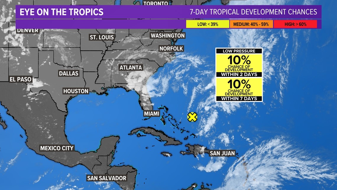
The NHC announced that it will now use a 2 to 7-day extended hurricane outlook versus the 2 to 5-day hurricane outlook used in previous years. The 7-day outlook will include the visual "cone" forecast too.


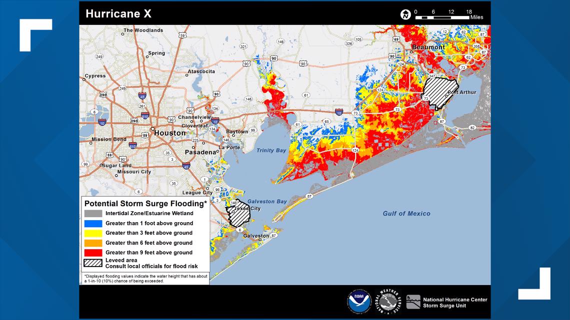
In addition to the outlook changes, a potential storm surge flooding map is now available for Puerto Rico and the U.S. Virgin Islands. This map will explain the details of flooding due to storm surge from the ocean, as well as tidal rivers, sounds, and bays. The mapping product is already advanced by understanding the area's topography.
In addition to the topographic knowledge, it will take into account uncertainties in the tropical track, landfall location, intensity, speed, and size of the tropical system.
Below is an example of what the mapping product will look like when active:


Another great product the National Hurricane Center has announced is their peak storm surge forecast will be operational. This has been an experimental project since 2020. This will be helpful to know which areas will experience inundation based on the track and strength of the tropical system.
NOAA will issue its outlook for the 2023 Atlantic hurricane season during an in-person news conference on Thursday, May 25 at the NOAA Center for Weather and Climate Prediction in College Park, Maryland.
Check out the 13News Now Hurricane Guide for more information to keep you safe and weather-aware this upcoming hurricane season.

