NORFOLK, Va. — The Pacific Northwest has been inundated by continuous rainfall brought on by something called an atmospheric river. It's a familiar weather pattern that is much more common on the West Coast than here in the east. But what exactly is it, and why does it bring about such significant impacts?


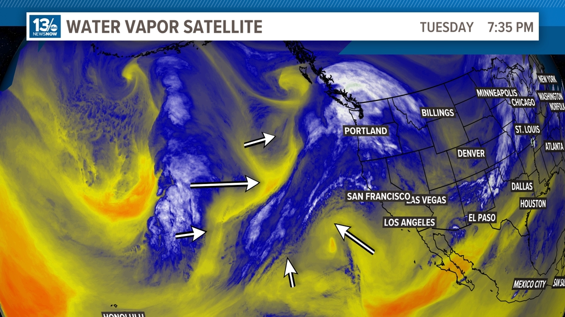
An atmospheric river can be identified on satellite imagery using the water vapor filter. This depicts high levels of moisture in the low to mid-levels of the atmosphere. This go-around, areas like Washington State have been dealing with the brunt of the unsettled weather, in this case immense rainfall and an ongoing soggy pattern that is expected to continue for at least a while.


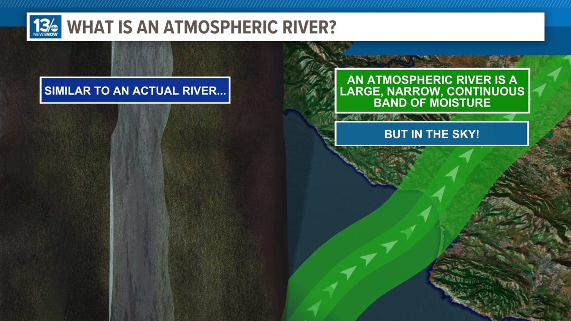
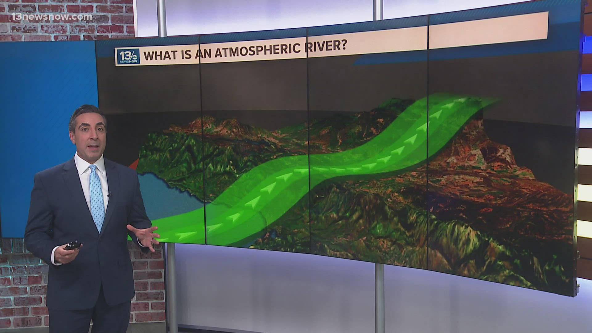
So, what exactly is it? Like an actual river on land, an atmospheric river is a large, narrow, and continuous band of moisture, in most cases originating from tropical latitudes where moisture is more readily available.
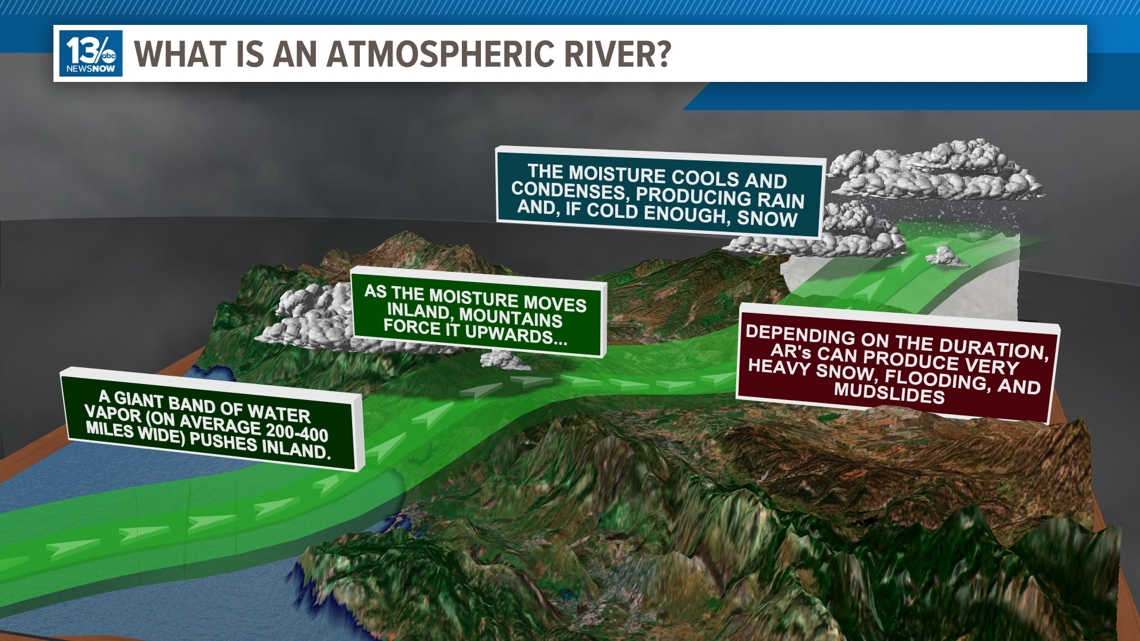
On average this giant band of water vapor can be quite narrow, only 200 to 400 miles wide. This conveyor belt of moisture then pushes inland, encountering enhanced terrain or mountains forcing that moisture to rise and condense producing prolific rainfall amounts and, if cold enough snowfall rates.


Depending on how long they persist, these atmospheric rivers can be responsible for highly impactful weather events including floods, mudslides and blizzards.

