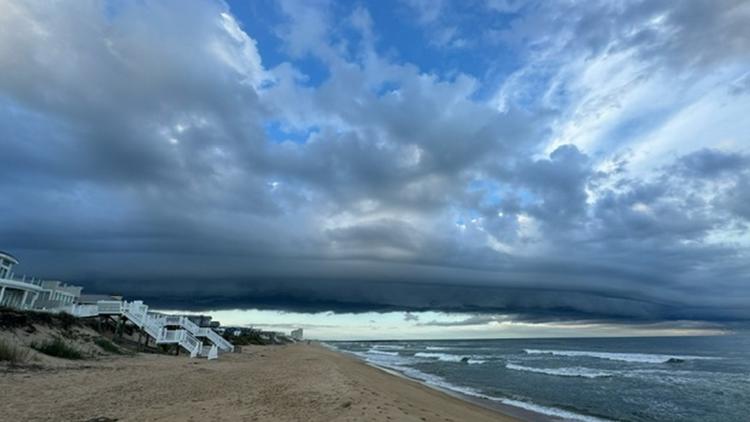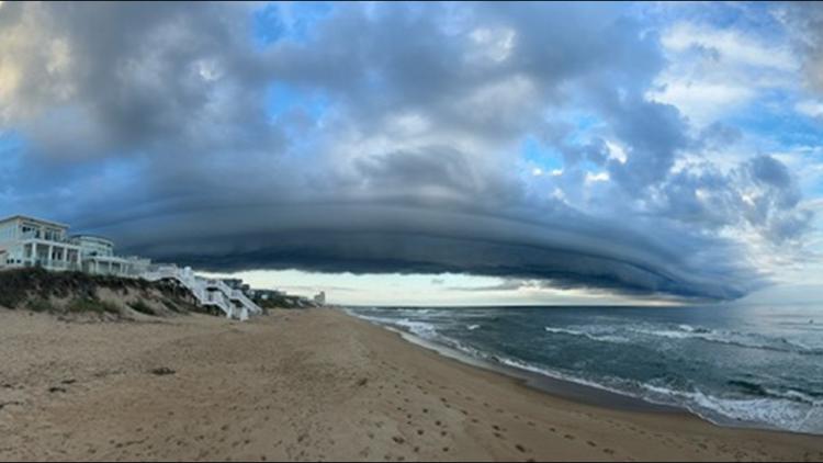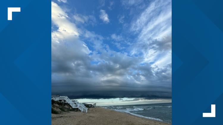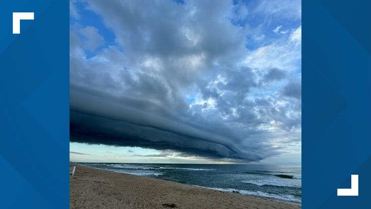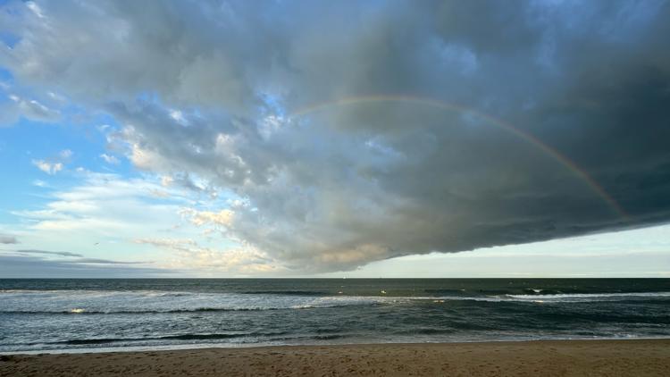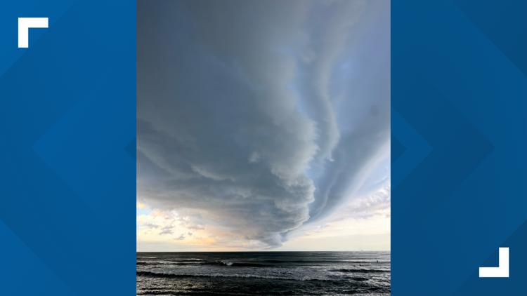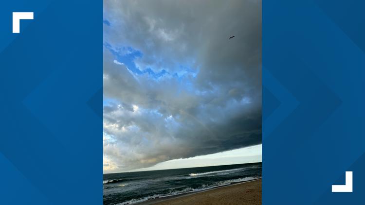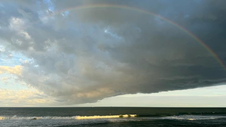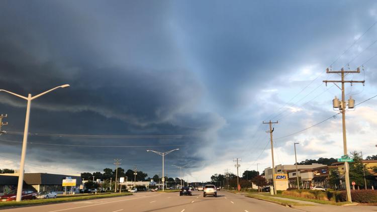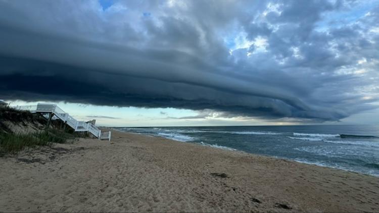
VIRGINIA BEACH, Va. — An impressive shelf cloud formation was seen over much of Hampton Roads late on Saturday afternoon. That might have people wondering what exactly causes these visually stunning clouds.
A shelf cloud is a type of cloud formation that normally appears as a horizontal, wedge-shaped cloud that extends out from the base of a thunderstorm or a cold front.
These clouds often look ominous with a distinct and dark leading edge. The shelf cloud marks the boundary between the cold air and the warm air, and it can indicate the presence of thunderstorms and often severe weather.
Shelf clouds form when cold air from a cold front pushes under warm, moist air, causing the warm air to rise rapidly. As this warm air ascends, it cools and condenses, leading to the development of the shelf cloud.
Wind is created from shelf clouds primarily due to the dynamics of air movement associated with cold fronts. When a cold front approaches, cold, dense air moves in and pushes underneath the warmer, lighter air. This displacement causes the warm air to rise rapidly. As the cold air advances, it creates a high-pressure area. The rising warm air creates a low-pressure area. Wind is generated as air moves from the high-pressure area (cold air) to the low-pressure area (rising warm air).
The steep pressure gradient between the cold and warm air can lead to strong, gusty winds. As the cold front passes, the winds can become gusty and turbulent, especially near the leading edge of the shelf cloud.
The presence of a shelf cloud is often associated with strong winds and heavy rainfall, which can occur as the cold front passes through.