NORFOLK, Va. — Weather radar has come a long way over the past 70 years! As advancements in computers have moved at a tremendous pace, so have the upgrades to weather radar resolution and capabilities.
In the late 1980s, the National Weather Service launched a major upgrade to the national radar network, eventually installing over 160 new radars across the United States. These new radars allowed meteorologists to not just see rain, but also how the raindrops were moving, detecting rotation within a thunderstorm.
In the early 2000s, upgrades allowed meteorologists to see the precipitation in 3D! It’s called "dual-pol," or dual-polarization radar, and it all begins with the radar's transmitter.
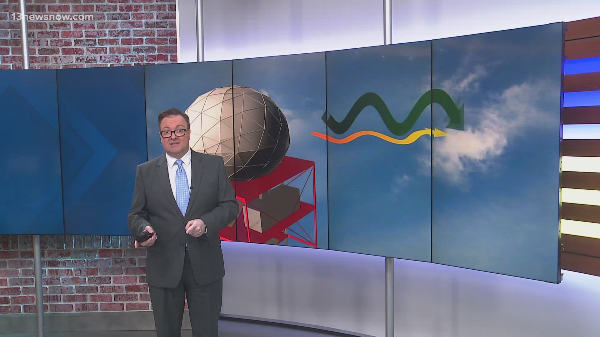
Previously, the transmitter would send out and receive a horizontal pulse of radio waves. But now, the transmitter can send out both horizontal and vertical, or polarized, pulses.
By sending our dual pulses, meteorologists now have more in-depth information about the size, and more importantly, the shape of objects inside a storm.
This means the radar can now distinguish between rain, hail, and snowflakes inside a storm. For example, big, heavy raindrops tend to be flat and wide in shape while hailstones are more spherical.
This same principle allows meteorologists to determine whether a radar return is something non-meteorological. Using a product called “correlation coefficient,” meteorologists can find objects that have a different size and shape compared to normal precipitation. This could be bugs, birds, or even debris from a tornado.
It’s something we saw earlier this summer as the remnants of Debby produced nearly two dozen tornado warnings across the region. Several of the radar returns showed the possibility of some debris being picked up by the potential twisters.
Radar technology will continue to improve as faster processors are developed.

