NORFOLK, Va. — DOWNLOAD: 13News Now App
DOWNLOAD: 13News Now Hurricane Guide
There are about 1.25 million people who live in Coastal Virginia. Every year there's a potential that a hurricane or other tropical storm will threaten them. When the threat is great enough, evacuations may be necessary.
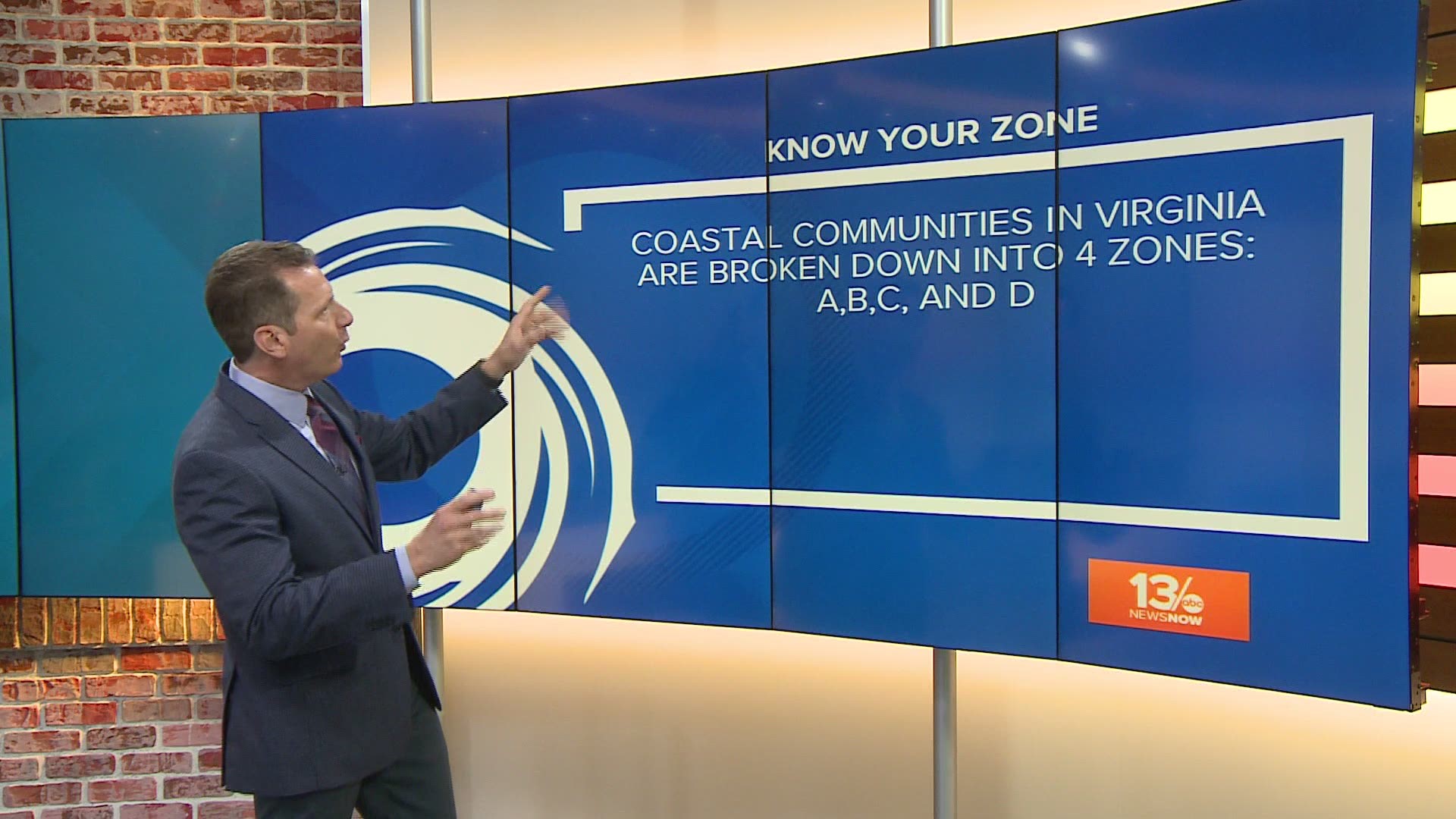
Getting all of those people out of danger can be a huge lift. To do it in a more organized way, the Virginia Department of Emergency Management (VDEM) relies on Know Your Zone, the state's tiered evacuation system.
There are four evacuation zones: A, B, C, and D. The state uses them to let people know whether they should leave their homes. Decisions are based on people's street addresses and the nature of the emergency event.
VDEM provides a searchable map that allows people to type in their addresses and find the zones in which they live.
If officials order an evacuation for an area, they say people should use these designated evacuation routes:
Peninsula
- Interstate 64 West
- Interstate 664 North
- U.S. Route 17 North
- U.S. Route 60 West
- Route 143
- During severe weather, the Jamestown-Scotland Ferry is removed from service and should NOT be considered part of your evacuation plan.
Southside
- 264 West and Interstate 64 Hampton Roads Bridge-Tunnel
- Interstate 664 North Monitor Merrimac Memorial Bridge-Tunnel
- U.S. Route 17 North
- U.S. Route 58 West
- U.S. Route 460 West
- Route 10 West
- The Chesapeake Bay Bridge-Tunnel is NOT an evacuation route. For closure at the CBBT, people can visit its website.
Eastern Shore
- All Eastern Shore residents will use U.S. Route 13 North toward Salisbury, Maryland.


