
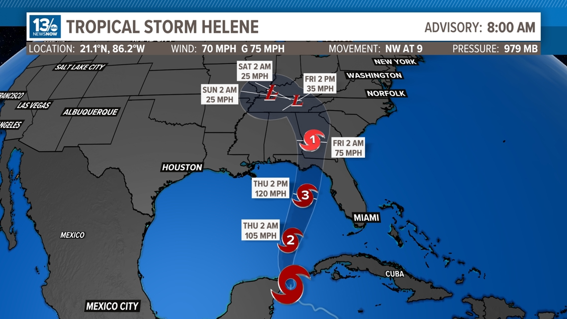
NORFOLK, Va. — As of 8 a.m. Wednesday, Helene was still a tropical storm, but the pressure continues to drop. When the pressure drops, wind speeds increase. So, Helene now has sustained winds of 70 mph with gusts up to 75 mph. Helene is located in the very warm waters near the Yucatan Peninsula and will make its way into the Gulf of Mexico on Wednesday. The system will become a hurricane Wednesday.

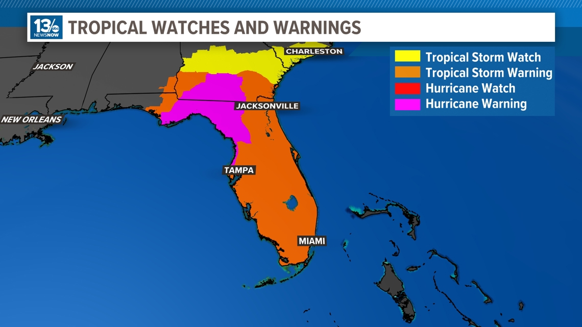
Hurricane Warnings are now in effect for the Yucatan Peninsula and the Big Bend and the Panhandle of Florida.

Helene is currently located in an ideal environment for rapid intensification and is forecast to become a major hurricane (at least a Category 3) before approaching the Big Bend area of Florida later this week. The National Hurricane Center believes that this storm will make landfall on Thursday.
Residents in the Deep South, especially Florida and Georgia, should continue to keep a close eye on this system as life-threatening storm surge, hurricane-force winds, and spin-up tornadoes are possible starting on Wednesday.
Global models, as well as higher-resolution hurricane models, are in fairly close agreement about the intensity and timing of what will be Helene.
After the system makes landfall, the models carry the center into the southeast US, and suggest a trough of low pressure will actually draw the system north/northwestward and into the Tennessee River Valley. Below are the most recent spaghetti plots, where each line represents a different computer model. Take note of the remarkable agreement throughout almost the entire forecast period.
Flooding rain will be possible far inland, and southern parts of the Blue Ridge and Smokey Mountains could see heavy rain depending on how the system tracks.
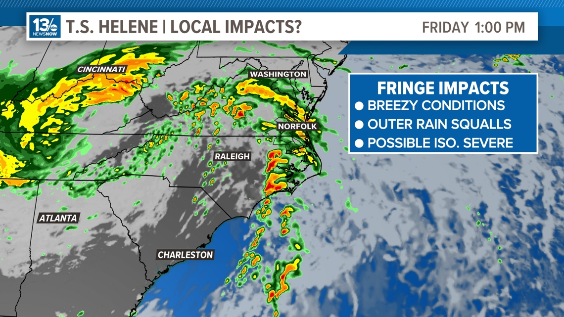
For Hampton Roads, we're expecting increased rain chances for Friday and Saturday from the outermost bands of Helene and the abundance of moisture the system will pull in from the Atlantic. Breezy conditions are also possible with wind gusts up to 25 mph on Friday.
Some models suggest that we may have an isolated severe weather threat if those bands reach our area. That threat would be the chance for a brief, spin-up tornado.

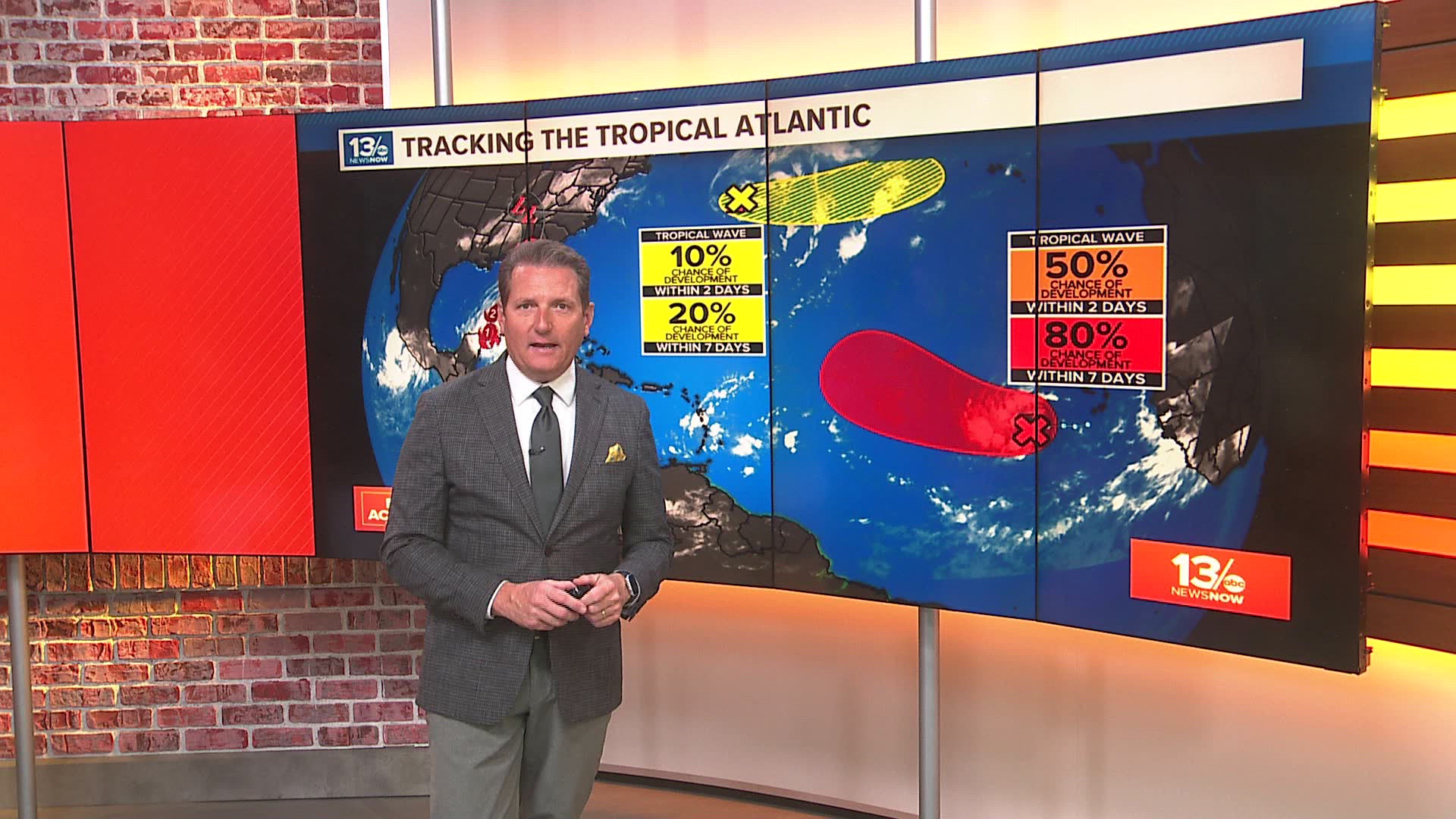
There is another area of development in the eastern Atlantic that also has a good chance of developing over the coming week. This system looks to snag the "I" name off of the list over the next seven days. The name this year is "Isaac."

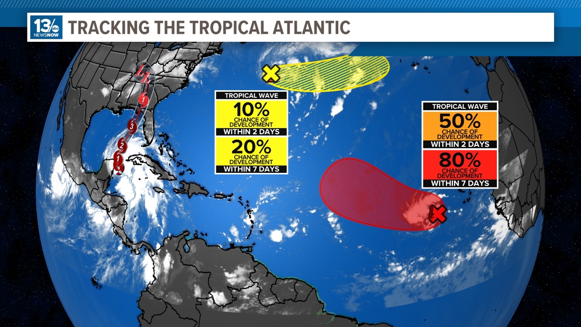
A new area was identified by the National Hurricane Center early Wednesday. There is only a low risk of development and the system is traveling to the east and farther away from the United States.
Stay tuned for updates from the 13News Now Weather Team on air, online and on 13NewsNow+, our free streaming app on Roku, Fire TV and Apple TV.