FLORIDA, USA — Milton made landfall on Florida's western Gulf Coast last night, in Siesta Key, Florida, making it Florida's third landfalling hurricane this season and fourth for the US. Hurricane Milton comes just a few weeks after Category 4 Hurricane Helene made landfall in the Big Bend, and after Hurricane Debby back in August.
Milton made landfall as a category 3 hurricane, with winds up to 120 mph, the first major hurricane to make landfall in the Tampa Bay area in over 100 years, leaving behind mass destruction in its path.
Tornado Reports
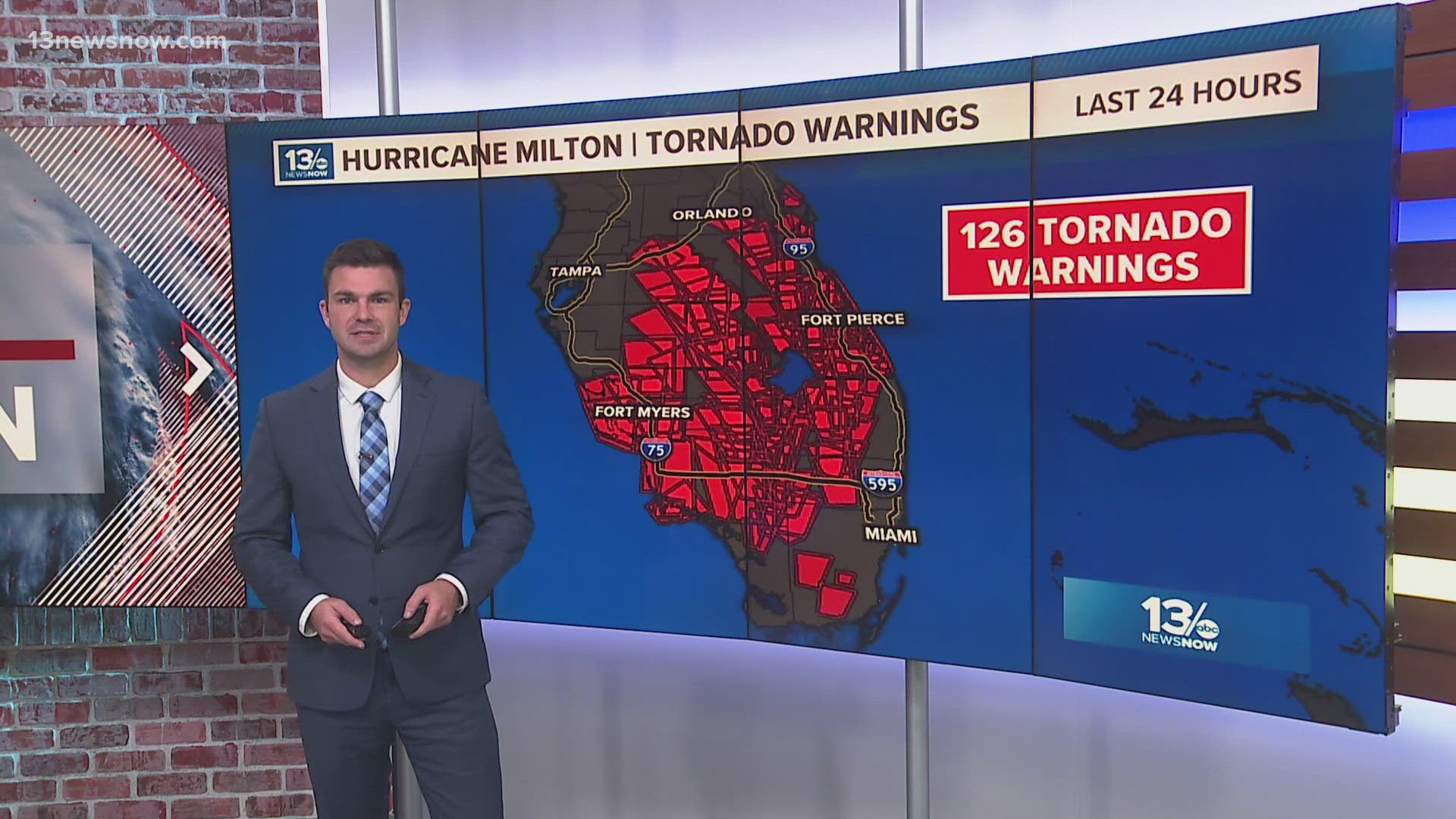
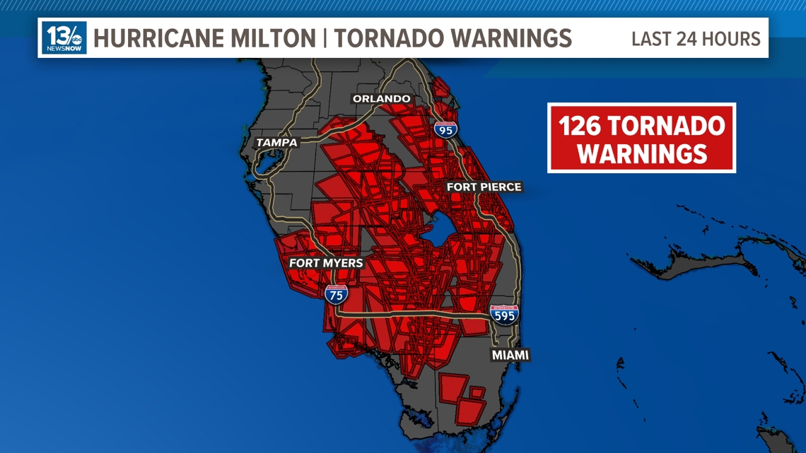
Milton produced 126 tornado warnings in Florida well before the storm has made landfall, and over were 30 confirmed tornadoes. This is the most tornado warnings ever issued in the state of Florida in one day and the second most tornado warnings ever issued in the US, second to the tornado outbreak in Alabama in 2011. Some of the tornadoes that were tearing across central and south Florida were much larger and more destructive than most tornadoes that are spawned by tropical systems and are being described as what you would typically see in the Midwest.
There are reports of extensive damage to homes and business from Fort Myers to Fort Piece Florida.

Storm Surge
Storm surge was a main concern for a lot of the west coast of Florida. Wherever this eye made landfall was crucial to who would see the worst of it. Since Milton made landfall in Siesta Key, Florida, areas to the south including Sarasota, Venice and Fort Myers saw the worst of the surge, reaching up to 10 ft. in areas of Sarasota.
Flooding Rains
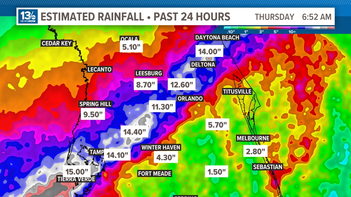
Milton brought extreme flooding rains to portions of the Tampa Bay area. Some areas saw anywhere from 10-15 inches of rainfall within 24 hours. Last night, a flash flood emergency was issued for Tampa Bay due to the intense flooding portions of the city saw, and there were reports of water waist-high in a hotel in Plant City.

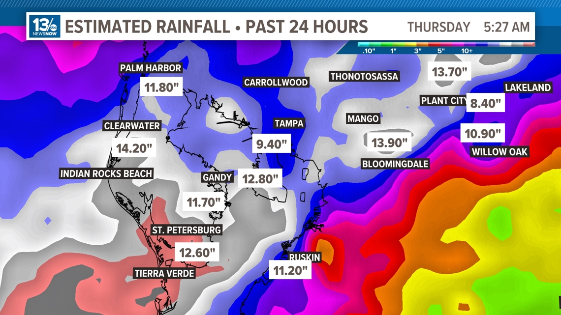
Numbers like this were seen not only in the Tampa Bay area, but even in Orlando and the east coast of Florida. Areas around Orlando saw up to a foot of rain and, nearer to the east coast, totals around Daytona Beach reached up to 14 inches.

Wind Gusts
Milton came onshore as a major category 3 hurricane bringing extensive wind damage to portions of the west coast of Florida and throughout the peninsula as it trekked its way to the east coast.
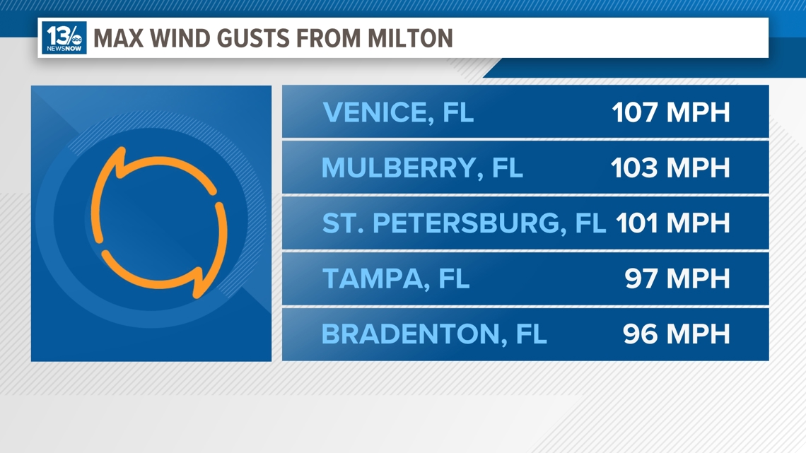
Wind gust reports were anywhere from 80 to over 100mph in areas closer to the eye. Even as Milton started to weaken and move closer to the east coast, areas like Daytona Beach saw gusts close to 90 mph and even areas of South Florida saw gusts over 60 mph. The roof of Tropicana Field in St. Petersburg, which was designed to withstand winds up to 115 mph, was ripped off as Milton tore through the city.

Power Outages
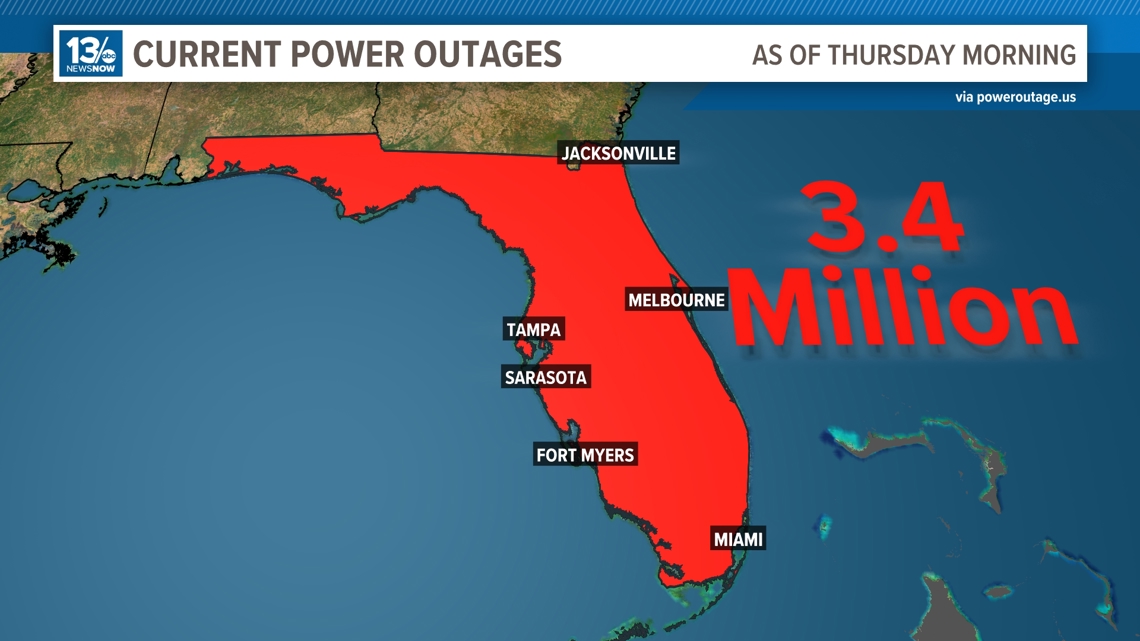
Currently, there are 3.4 million people without power in Florida. This is up from 2.9 million customers from earlier this morning, and it will continue to rise as Milton pushes off the coast.

