ST. PETERSBURG, Fla. — Hurricane Fiona has continued to strengthen in the Atlantic, becoming a powerful Category 4 storm early Wednesday. After becoming the season's first major hurricane on Tuesday, the storm is continuing to move north along the western Atlantic.
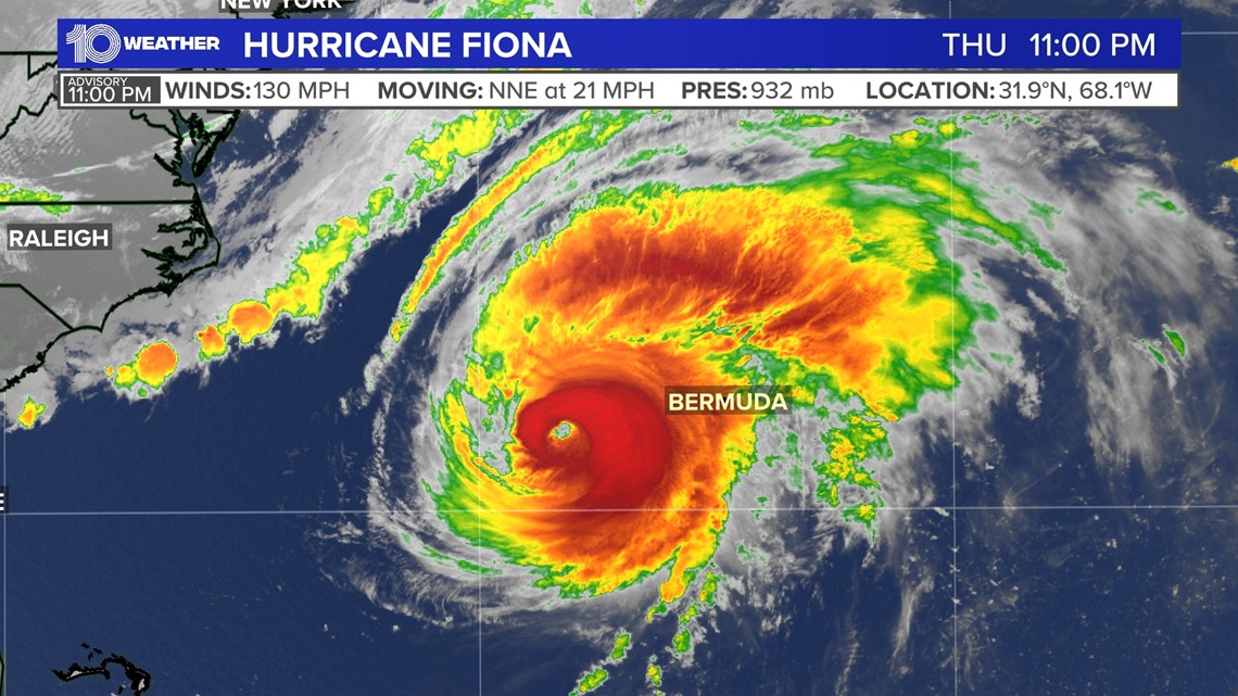
As of the 11 p.m. Thursday advisory from the NHC, the storm was moving to the north-northeast at 21 mph. Fiona is a Category 4 hurricane with maximum sustained wind speeds of 130 mph.


While Fiona intensified quickly overnight Monday it did not technically "rapidly intensify." This classification is given to a tropical cyclone (tropical depression, tropical storm or hurricane) when the winds increase 35 mph or more in a 24-hour period.
At 11 a.m. Monday, the maximum sustained winds with Fiona were 85 mph. The winds then increased to 115 mph by 2 a.m. Tuesday, falling just 5 mph short of the rapid intensification classification.


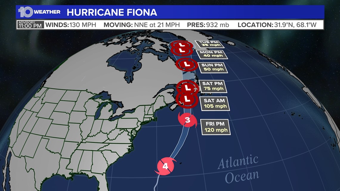
As Fiona tracks north and then north-northeast away from land, it is expected to gain some speed. The storm is forecast to continue just west of Bermuda late Thursday through early Friday.
From there, the storm is forecast to maintain major hurricane strength, and then gradually weaken as it approaches the Canadian Maritimes into the weekend as a very strong post-tropical system.

