
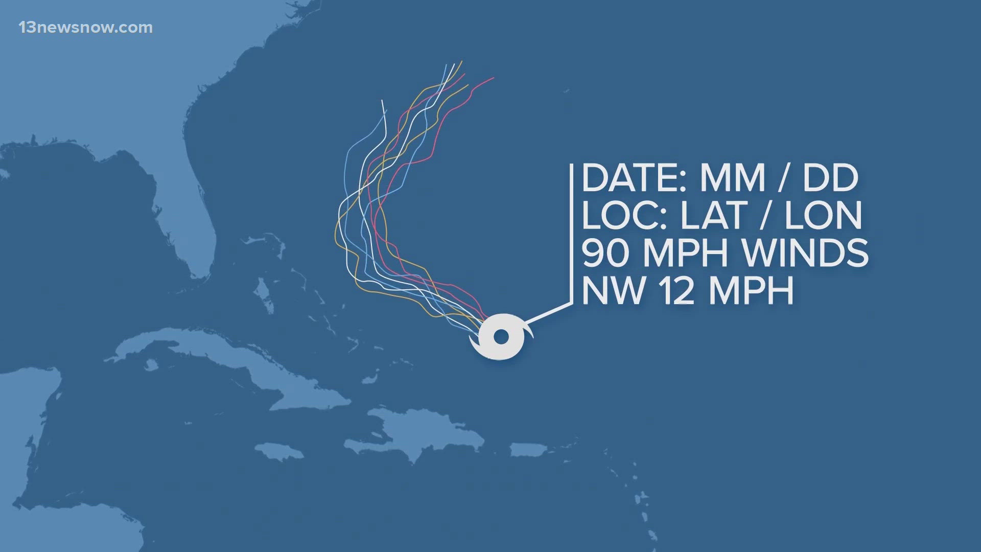
NORFOLK, Va. — Hurricane forecast maps, with their squiggly lines representing the various hurricane forecast models, are ubiquitous during hurricane season. These models project where a tropical system might go while others forecast a hurricane’s strength and intensity. But these colorful lines represent complex sets of equations and algorithms.
Meteorologists have been using these models for decades, dating back to the 1950s. But today's models are far more complex, taking hours to run on some of the fastest supercomputers in the world.
How do these models work? Data from satellites, aircraft, ships, buoys, and land-based sensors is fed into the model's mathematical equations to create a three-dimensional digital version of the atmosphere. Data limitations over the ocean can sometimes mean the atmospheric picture is incomplete. Hurricane hunter aircraft and drones are now flown into and around a tropical system to get a sample of the environment.
Then, the computer makes a nearly minute-by-minute forecast of how the atmosphere will change, predicting the path and intensity of the hurricane. In addition, steering currents, winds, and pressure rises and falls are forecast.
Each hurricane model has a different purpose, using different sets of data and equations,
resulting in different forecasts. Some models incorporate the date and location of past storms and atmospheric climatology. Other models focus only on a storm's current strength or direction of movement. And still others, called ensembles, are run numerous times with slight changes in a storm’s initial conditions.
Ultimately, these models are restricted by available data and computing power. But they are improving every year.
Hurricane Fast Facts: How hurricane models work
These models project where a tropical system might go while others forecast a hurricane’s strength and intensity.