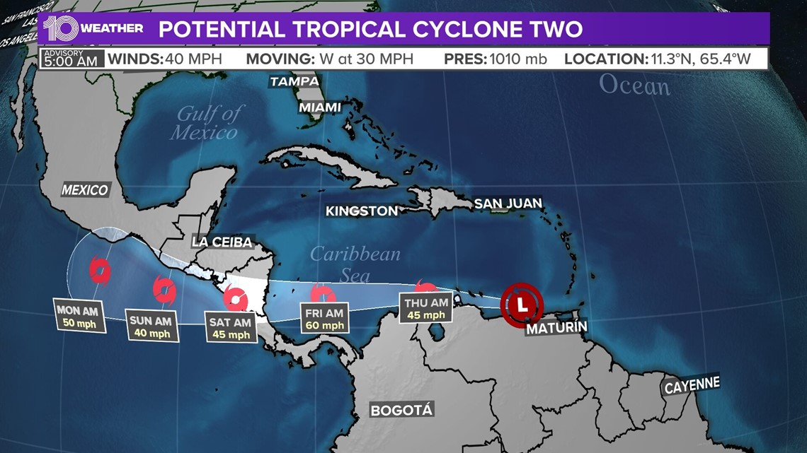
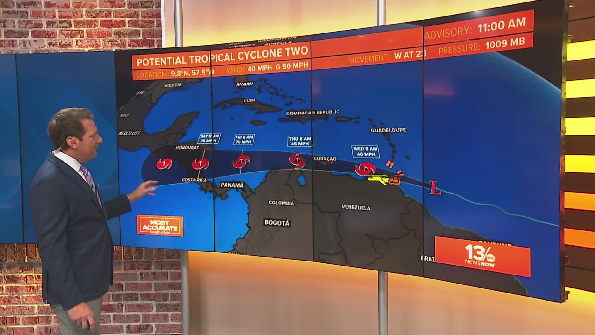
ST. PETERSBURG, Fla. — A tropical disturbance being monitored for days has a new distinction: Potential Tropical Cyclone Two.
The system is located about 200 miles east-southeast of Curacoa with maximum sustained winds of 40 mph, according to the National Hurricane Center's 5 a.m. Wednesday advisory.
Because the disturbance does not yet have a closed circulation, it is not considered to be a tropical cyclone. But with its 40-mph winds technically at tropical storm strength, it will likely become Tropical Storm Bonnie within the next day or so as it becomes better organized.
Bonnie would be the second named storm of the 2022 hurricane season.
Forecasters sometimes give tropical features a "potential tropical cyclone" designation when there is a decent chance that they will develop further into a tropical depression or storm. By doing so, people in the path can receive a proper heads-up in the form of watches and warnings for impacts within 48 hours.
Tropical storm warnings are in effect for Grenada, Islas de Margarita, Coche and Cubagua, Bonaire, Curacao, Aruba, the coast of Venezuela and Coast of Colombia. Tropical storm watches are in effect for the coast of Venezuela from Pedernales to Cumana.
People in the Windward Islands and parts of Venezuela are being warned of the potential of heavy rainfall through midweek, with tropical-storm-force winds expected.
The system is forecast to become a hurricane possibly as early as Friday evening after moving past the northern coastline of South America. If the forecast holds, it may impact Central America.


It will not impact Florida or anywhere else in the U.S.
By this time last year, the National Hurricane Center was tracking the third storm of the season as Tropical Storm Claudette took shape in the Gulf of Mexico and brought several inches of rain to Louisiana, Mississippi, Alabama and the Florida Panhandle.

