POQUOSON, Va. — DOWNLOAD: 13News Now App
DOWNLOAD: 13News Now Hurricane Guide
Past the waves and off in the distance, Dorian is coming.
Andy Corbett has lived in Poquoson his whole life. He said they expect streets to flood once or twice a year.
“It could be a strong nor'easter or a combination of the tide,” Corbett said.
Corbett said preparation is key. He and his wife made last-minute preparations Thursday.
“One final grass cut because it might be days before we can cut it again, Corbett said. “Everything that can blow around or go through a window we tie down and put up.”
Tracie Lovejoy and others at N. W. Perdue bagged up sandbags to sell. Lovejoy, also a life-long Poquoson resident knows how bad it can get when a storm rolls through.
“During Isabel, my mom got 18 inches and we did a lot of work after, it was rough,” Lovejoy said.
People are leaving their cars are at Langley Speedway trying to get them away from potential floodwaters.


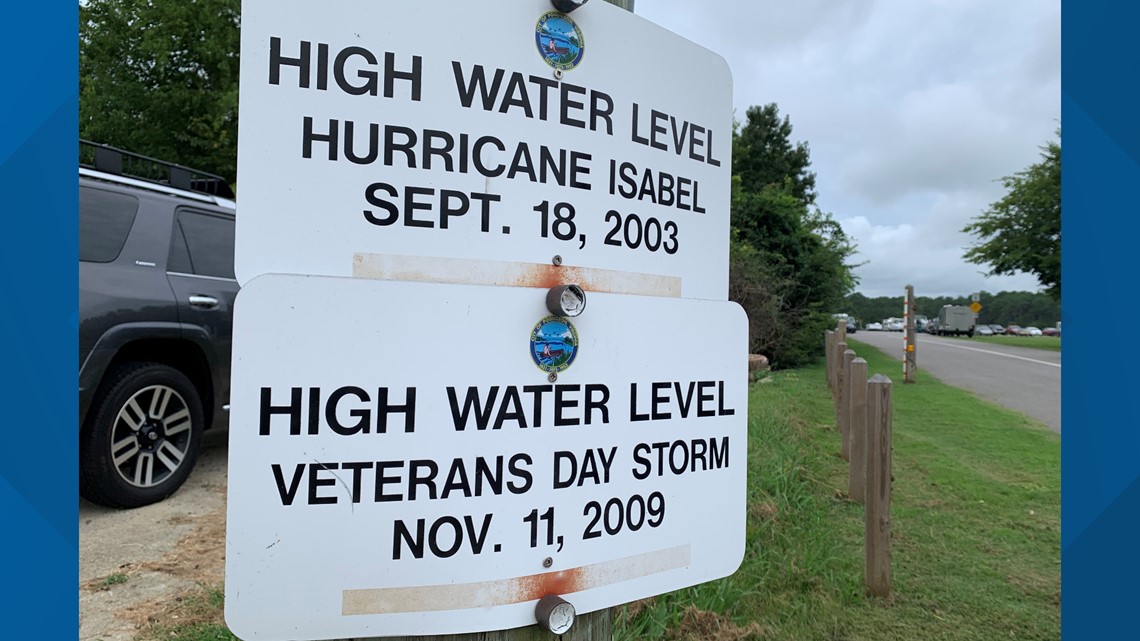
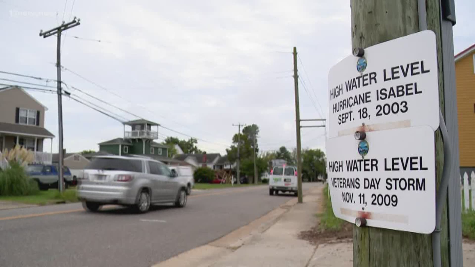
A sign that sits on a telephone phone in Poquoson shows how high the water got during Hurricane Isabel 16 years ago, and the Veteran's Day Storm in 2009.
Corbett said that whatever happens this time, they're ready.
“If it looks like this is close to Isabel, I put my family in the car and send them out west,” Corbett said.
Poquoson City Public Schools are closed Friday and recycling is delayed until next week.
On Monday, the Governor declared a state of emergency in the Commonwealth of Virginia for expected severe weather conditions which will rapidly develop as Hurricane Dorian approaches the coast of N.C. and Virginia.
The National Weather Service advises that Hurricane Dorian could have significant impacts for the East Coast of Virginia and the City of Poquoson. Officials from the Virginia Department of Emergency Management are now warning residents to prepare themselves for power outages, moderate to major tidal flooding and wind damage.
Based on the current track of the storm, Poquoson residents can expect tropical force winds to arrive midday on Thursday with the most severe conditions occurring Thursday evening through Friday afternoon. During this period, maximum sustained winds of 30 - 40 mph are expected with wind gusts of up to 60 mph possible. The storm is expected to bring 2-4 inches of rain to the Peninsula with the possibility of higher amounts locally.

