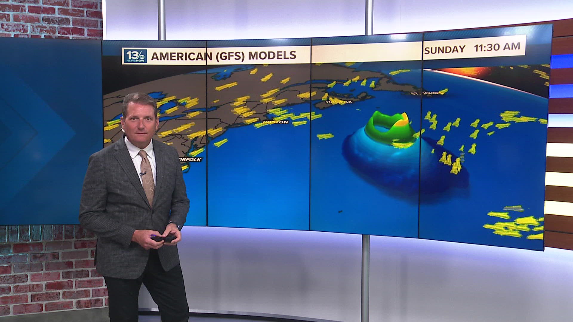
NORFOLK, Va. — The movement of tropical systems, from depressions, to storms and larger hurricanes is dependent on the wind currents they encounter.
But how do we know what winds will move these systems along?
It's sort of like a sailboat. The taller the sail, the more winds higher up off the ocean surface can influence which way the boat moves.

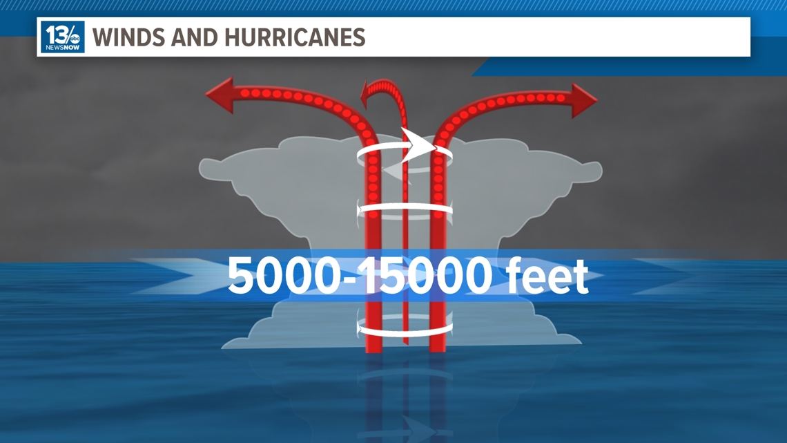
When you have low-level or surface lows, like tropical depressions and weak tropical storms, they are guided by winds in the lower half of the troposphere, typically found between 5000 and 15000 feet.

As a tropical storm develops and organizes, the system adds height, and lower to mid-level winds push it along. But weaker systems often slide below the influence of upper-level winds.
When these systems become more powerful and grow into hurricanes, movement is influenced by a layer of wind that spans most of the troposphere, between 5,000 and 35,000 feet.

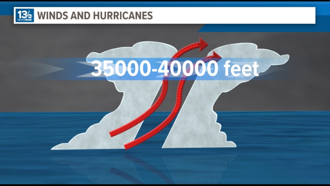
And the most powerful, mature hurricanes can have central cloud tops reaching 60,000 to 70,000 feet. These systems can be greatly impacted by winds up to around 40,000 feet.


Consider Ernesto and the forecast track from Wednesday morning.
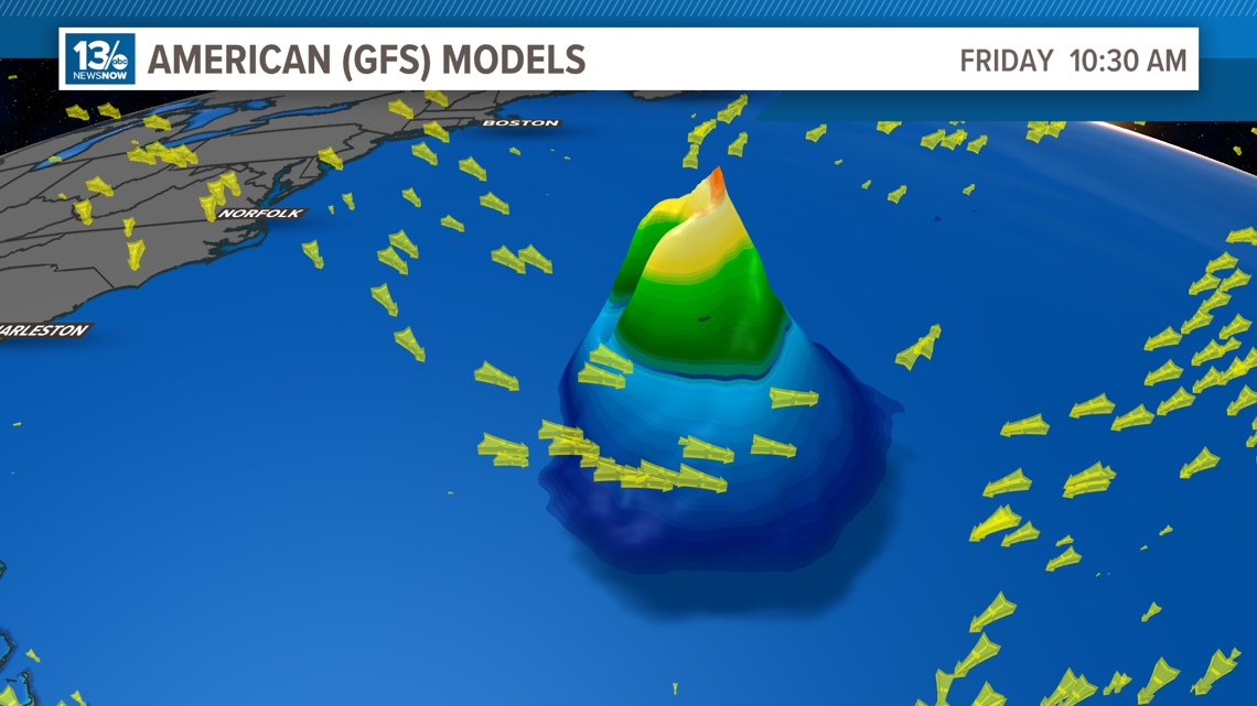
Initially, as a tropical storm, the lower level winds were pushing it west and northwestward around the base of the "Bermuda High". As the system is expected to strengthen and gain height, it will more likely be picked up by strong mid to upper-level winds ahead of a trough moving into the northeast US this weekend. That is why the models move it and accelerate it to the north over the coming days.

