NORFOLK, Va. — Heading into the cooler months, we can certainly see some cold snaps make their way into the area. But what's going on in the atmosphere that causes these cooler-than-average temperatures?
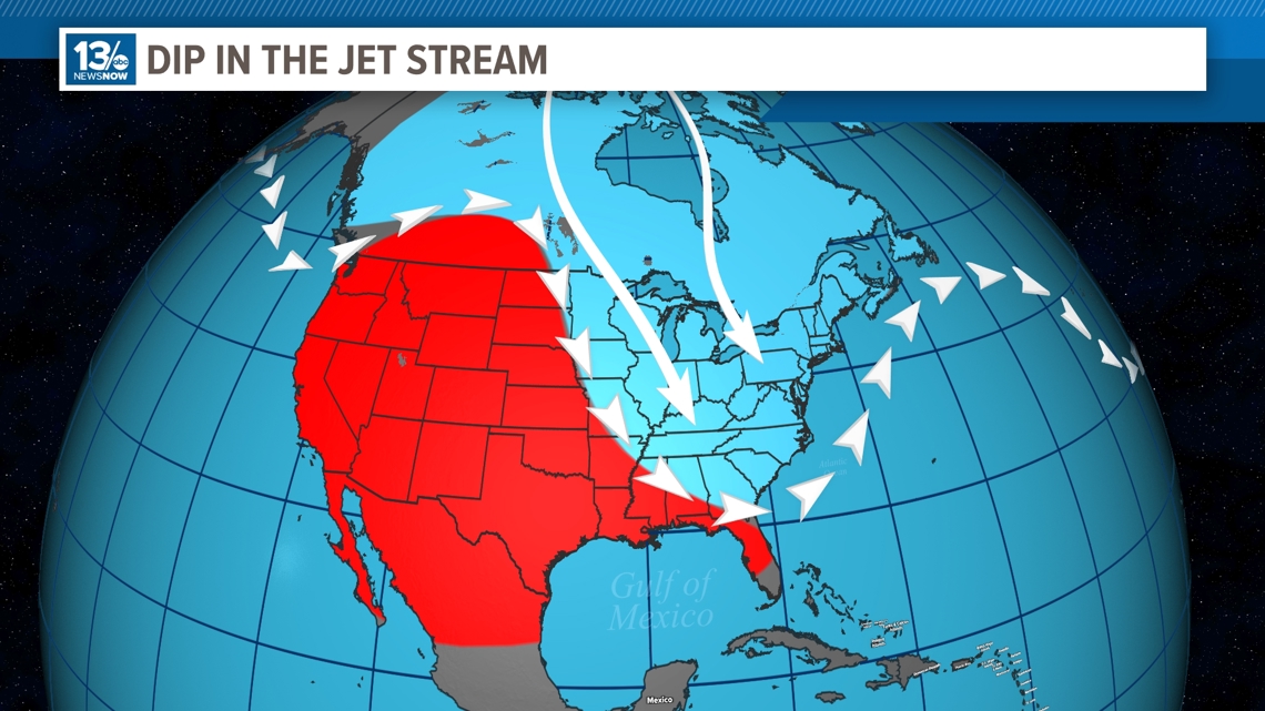
The jet stream plays a very important role when it comes to influencing weather patterns, particularly in bringing colder temperatures to different parts of the world. The jet stream is a fast-flowing wind, high in the atmosphere, normally found around 30,000 feet above the Earth's surface, where you can find planes flying. The jet stream separates warm air masses from cold air masses and can bring either airmass your way depending on how it dips.
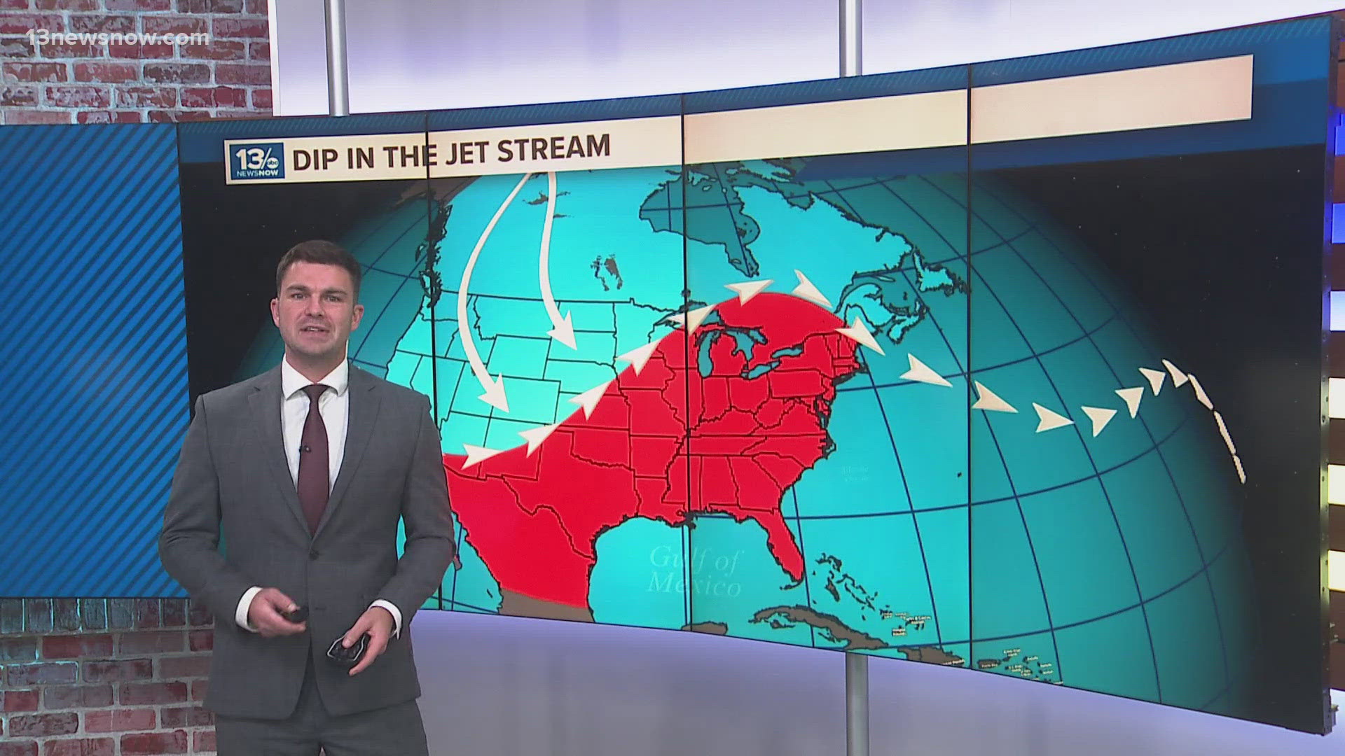
One of the key ways the jet stream brings colder temperatures is through its dips, known as troughs. When the jet stream dips southward, it allows cold air from the polar regions to move down into lower latitudes. This southward movement of cold air can lead to significant drops in temperature for the affected areas. For instance, a deep trough in the jet stream over North America can result in Arctic air plunging into the central and eastern United States, leading to cold snaps.
That's exactly how we can see much colder temperatures here in Hampton Roads during the winter months.
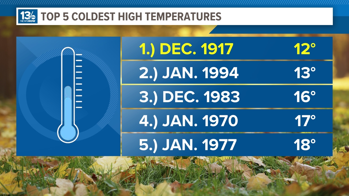
Here are the top 5 coldest high temperatures in Hampton Roads:


The opposite happens when we see much hotter than normal temperatures. The jet stream shifts northward, it can bring warmer air from the tropics into higher latitudes. However, it's the southward dips that are most associated with bringing colder air.
These dips can also lead to the formation of low-pressure systems, which can further enhance the cold weather conditions. The interaction between the cold polar air and the relatively warmer air ahead of the trough can create significant weather events, including snowstorms, ice storms, and other forms of severe weather.


