NORFOLK, Va. — It took a while, but the rain finally got here Tuesday. It was heavy Tuesday night into the early hours this morning.
Early Tuesday, radar composites showed showers over the region, but much of that was virga, or rain that falls but doesn't reach the ground.
Yesterday, as the rain started, it fell into dry air at the surface, it evaporated before making it to the ground. Eventually, the lower levels became humid enough to allow rain to reach the ground.
And then the heavens opened up overnight!


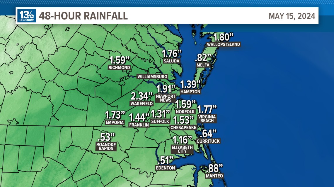
The rain total for Tuesday through Wednesday morning was 1.59" at Norfolk International Airport.
Most of the rain gauges across the region saw heavy rain. The heaviest, 2.34" was recorded in Wakefield. Newport News picked up 1.91", and Virginia Beach got 1.77" at Oceana.
It wasn't record-setting, but it was enough to prompt a Flood Advisory for Virginia Beach, Norfolk, Chesapeake, Newport News, Hampton, Portsmouth, Williamsburg, Poquoson, James City, and York late last night.
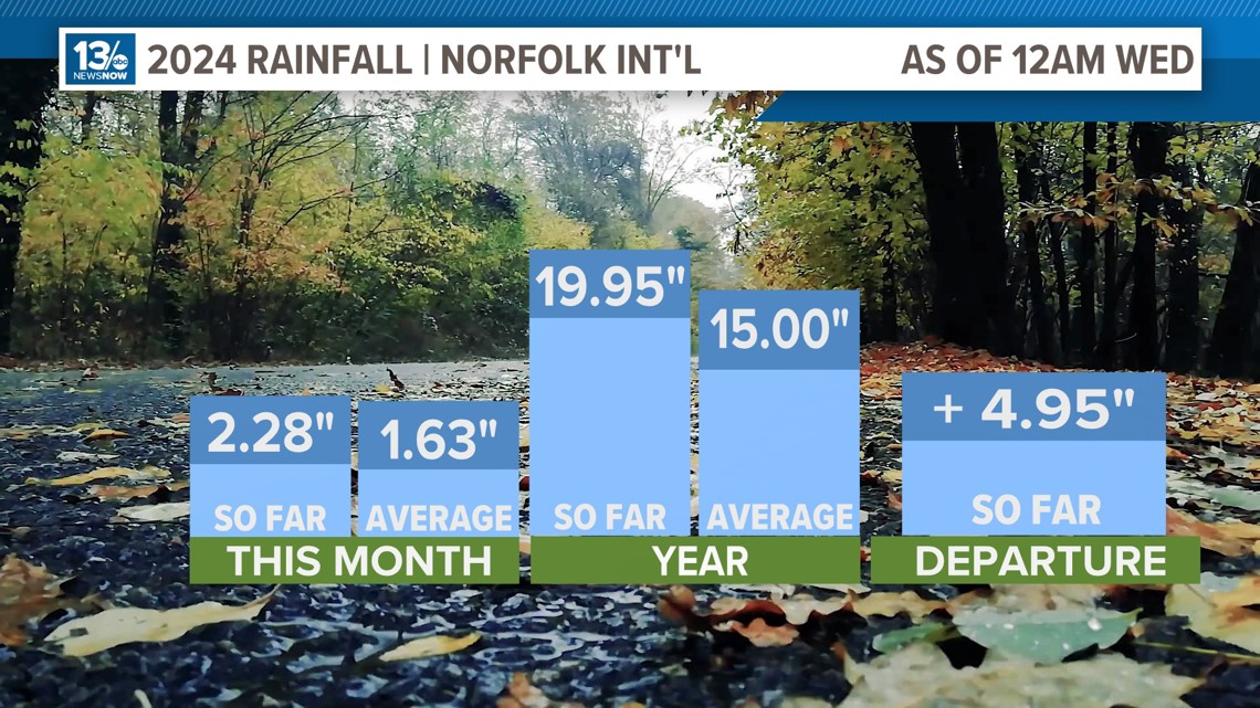
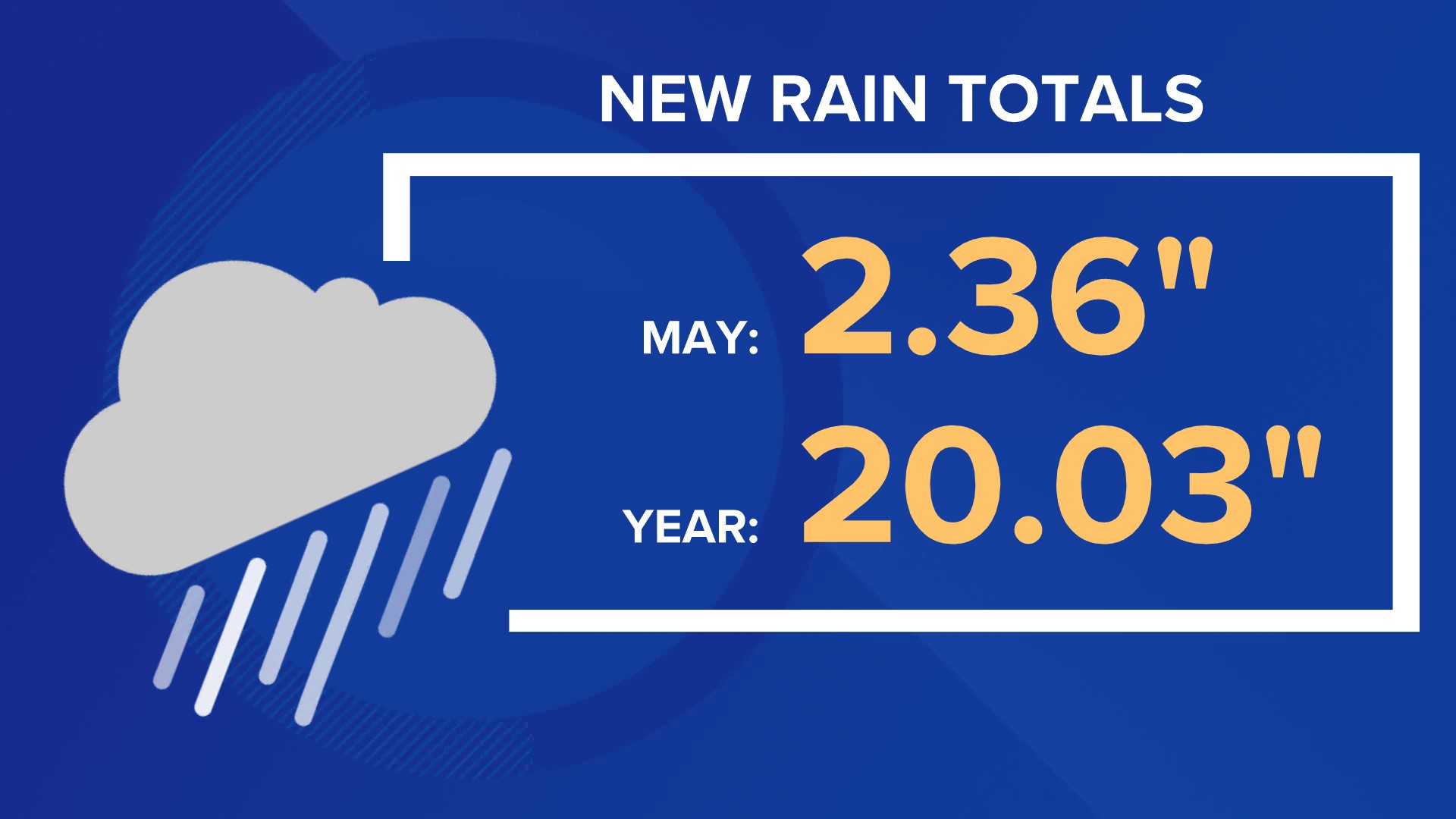
The 2.36" of rain we've gotten so far in May has us about 0.6" above normal for the first half of the month.
And for 2024, Norfolk has already picked up 20.03". That is 4.91" above average since January 1.


While isolated showers or storms cannot be ruled out over the next few days. It looks like our next really good chance for rain will come this weekend as another system comes through Hampton Roads.
While Norfolk and most of Hampton Roads have had ample rainfall, other parts of the region were a little dry before the heavy rain last night. A new drought monitor update will be released tomorrow.


Check back with us for updates to the forecast to see if our rain chances change as we get closer to the weekend.

