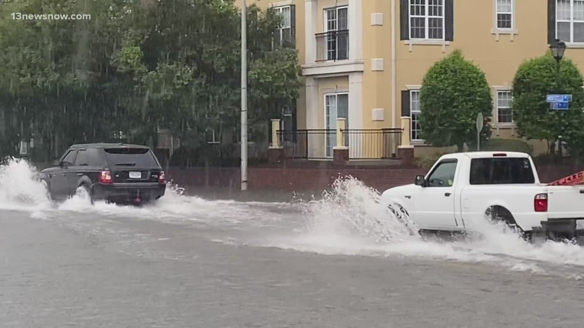
NORFOLK, Va. — A flood warning for parts of Hampton Roads' southside expired at 7 p.m. Monday, following several bouts of heavy downpours.
You can go to the National Weather Service's site for the most up-to-date information and look for your location.
6 p.m. — Chesapeake, Portsmouth also under flood warning
The warning replaces an earlier flash flood warning and will last until 7 p.m.
4:10 p.m. — Flood warning in effect in Norfolk, Virginia Beach until 7 p.m.
A portion of Norfolk and Virginia Beach are under a flood warning until 7 p.m. The impacts include flooding of rivers, creeks, streams and other low-lying or flood-prone locations.
Flash flood warnings are also in effect for Norfolk until 4:45 p.m. and Virginia Beach until 5:30 p.m.
3:08 p.m. — High water levels reported on Bainbridge Boulevard in Chesapeake
Chesapeake Public Works wrote on X that high water has been reported on Bainbridge Boulevard at the Triple Decker Bridge. People are advised to avoid driving through high water.
3 p.m. — Monticello Avenue underpass in Norfolk closed due to flooding
The underpass near 21st Street is closed to all traffic until further notice, according to Norfolk city officials. People are asked to use Granby Street as an alternate route.
Officials also encouraged people to use the Waze app to get real-time flooding updates. The app has pop-up icons and audio alerts to warn of flooded streets.

