
Hampton Roads is no stranger to flooding and tidal impacts, and given all the natural waterways in the region, sea level rise has major impacts on communities.
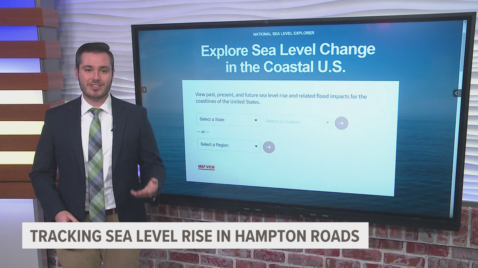
The U.S. Sea Level Change website is the first site to compile data from across several federal agencies, including the EPA, Homeland Security, FEMA, NASA, and NOAA.
From here, website users can search for data by location.
In Sewell’s Point, Norfolk, for instance, the sea level rose about 12 inches from 1970 to 2024 and is projected to increase another foot from 2024 to 2050.
The site even maps out the change in sea level each year within that time period.
Dr. Jeremy Porter, head of First Street Climate Research, said the higher the seas, the more impactful the flooding.
"As we have more water in the oceans from sea level rise, it means that there's more opportunity for that flooding to impact properties that are further inland that wouldn't have been impacted by water when they were at lower levels," said Porter.
A sea level rise map from NOAA shows sea level rises just one foot in Sandbridge in Virginia Beach; some low-lying areas would sit underwater, which would impact these housing communities.
In Hampton, the Newmarket Creek near Aberdeen Elementary School would balloon in size if sea levels rise another one or two feet.
Tools like the NOAA sea level rise map and the new federal data site will become vital for city planning and for homeowners in the area.