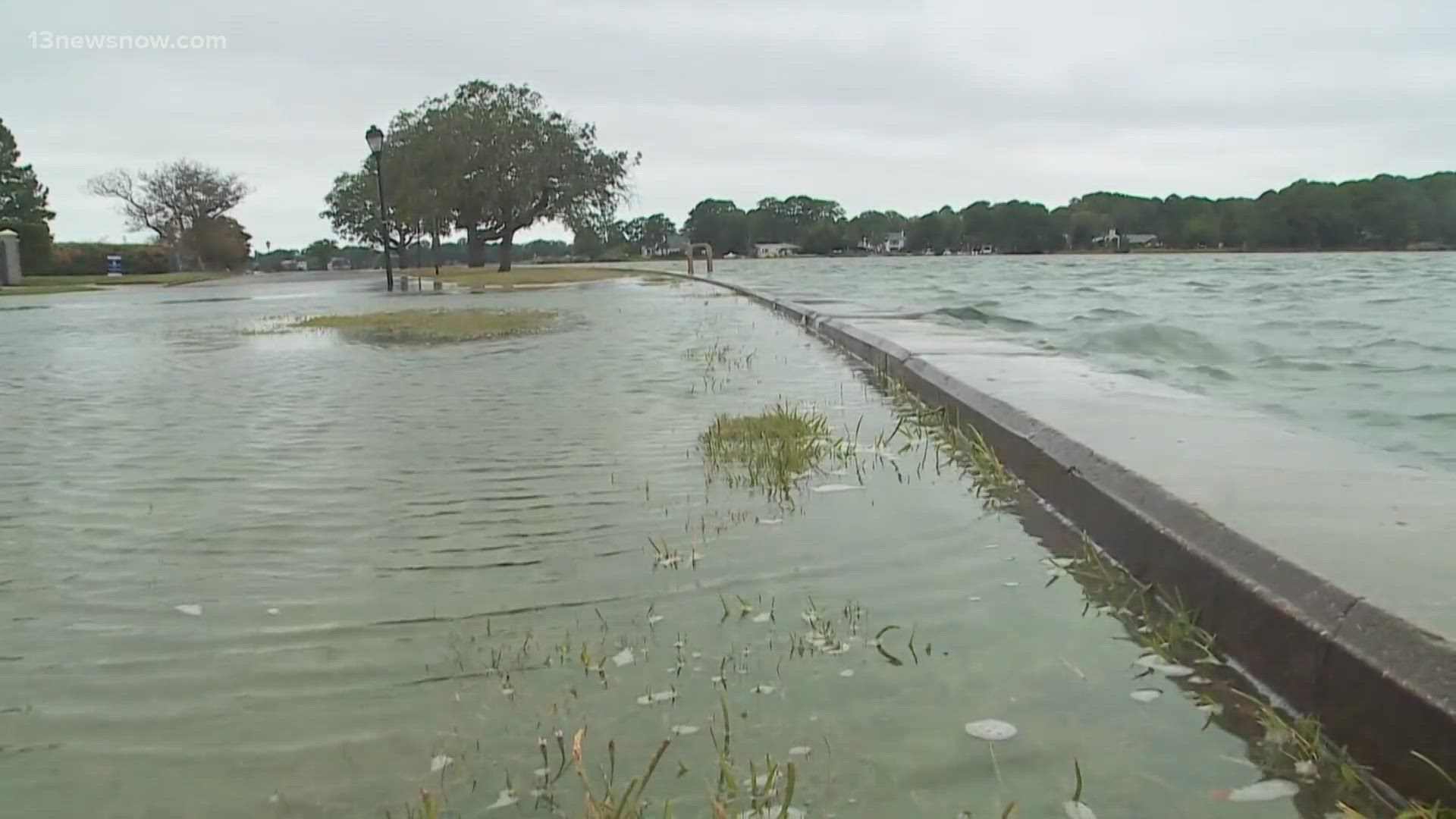
NORFOLK, Va. — Flood mitigation in Norfolk has been a decades-long effort for researchers across Hampton Roads. The city is one of only a few at ground zero for sea-level rise across the country, making the work more critical, and more urgent locally.
But a potential breakthrough in flood prediction technology could launch that research forward.
Scientists from Jefferson Lab, Old Dominion University, and the University of Virginia are examining how effective advanced artificial intelligence is at collecting and interpreting flood data in Norfolk. They’re using data from 17,000 streets covering 400 miles of roadway in the city, and they’re inputting different types of rain events into these simulation models.
The speed of computation is a critical difference compared to physics-based simulations that can take hours to analyze. Deep learning models, aka artificial intelligence, can accurately predict what’s called "nuisance flooding" in just 11 seconds.
What does that mean for us?
Speed is everything when it comes to flood mitigation. We are in a literal race against time with sea-level rise. If researchers can quickly identify exactly where high water is when it rains, then transportation, health, and emergency management solutions will be a lot easier to implement.
Nuisance flooding in Norfolk has increased 325% since 1960. Researchers say there is the potential for well over 200 flood events annually by the year 2049.

