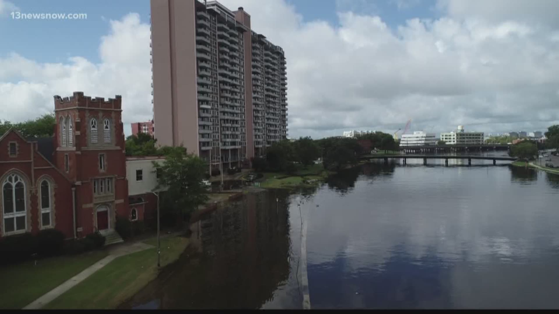
NORFOLK, Va. (WVEC) — Scientists are taking to the skies to study urban flooding and coastal changes in Hampton Roads.
Old Dominion University researchers are using drones to study parts of Norfolk and Virginia Beach. On Wednesday, they spent the day looking at The Hague in Norfolk.
"It's beautiful. It's a gorgeous 90-degree sunny day, but there are parts of the roadway that are knee-to-waist deep in water,” said George McLeod.
Two ODU researchers are using drones to analyze flooding and sea level rise in both urban and natural environments. So far, they've been to sections of the Outer Banks, Virginia Beach, and Norfolk.
"The anecdotal evidence that is abundant in Hampton Roads. Stories about flooding and how we couldn't place that isn't supported by any background data, that is why we are doing this. We will actually have data saying this is exactly why I couldn't get to and from work," McLeod explained.
The goal is to fly the drone regularly and consistently. The team said they will take several photos and then create 2D and 3D maps to display the data.
McLeod said, "If we do that for this event, and the next event and the next 10 after that, maybe over the next three or four years we should be able to draw a progression and show the flooding is actually going further in the neighborhoods."
The future plan is to pass the information they gather to city and state leaders as well as the Army Corps of Engineers.

