OCRACOKE ISLAND, N.C. — We are keeping our focus on an area of low pressure that will track through the region and move offshore to the east-northeast on Tuesday.
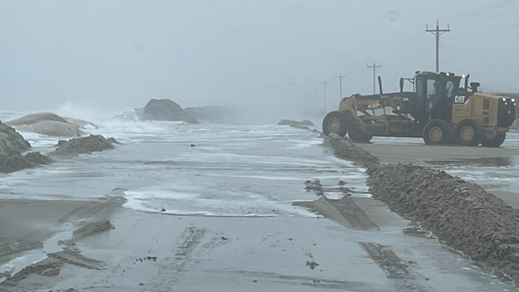
On Monday morning, the North end of Ocracoke Island experienced high water levels and persistent ocean overwash, according to their Facebook. Around 8:30 a.m. roads were unpassable.
As the system exits on Tuesday, it is expected to strengthen. The winds on the back side of the low will increase and possibly gust 40 to 45 miles per hour near the water and along the coast.
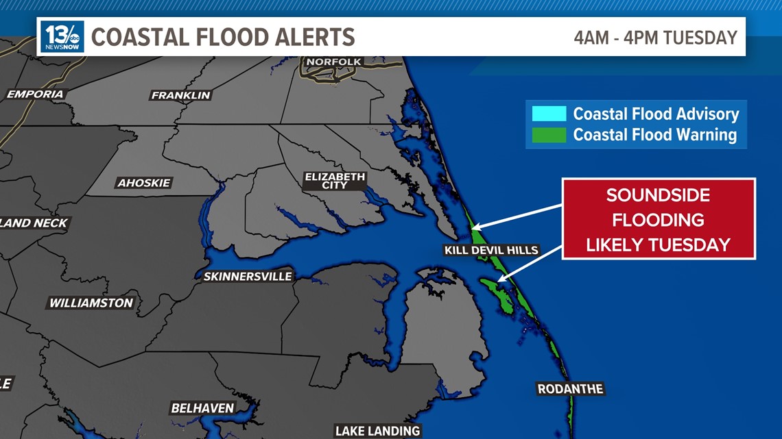
The strong winds from the west and northwest will drive water in the North Carolina Sounds towards the sound side of the Outer Banks which could produce some sound-side flooding of the Outer Banks of Dare County, where a coastal flood watch is already in effect.
There is a Coastal Flood Warning for those areas from 4 a.m. until 4 p.m. Tuesday.


We will be monitoring the conditions closely over the next 36 hours, so check back with 13News Now for updates.


