DARE COUNTY, N.C. — The National Weather Service is advising people in Dare County, North Carolina to be on the alert for flooding Sunday afternoon and evening.
A stalled cold front that caused storms, heavy downpours and flash flooding Saturday across Southside Hampton Roads and northeastern North Carolina, is sticking around for another day. That will keep the chance for scattered storms in place Sunday — but the storm risk pushes a little further south.
On the Peninsula, expect partly cloudy skies through the entire day.
But to the south, in southern parts of the Southside and northeast North Carolina, expect showers or thunderstorms during the afternoon and evening.
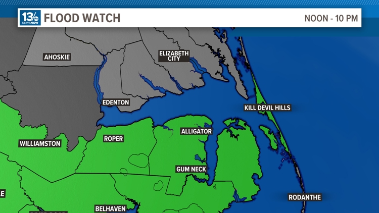
For the Northern Outer Banks specifically, a Flood Watch will go into effect from 12 p.m. to 10 p.m., and Flood Warnings are possible during that time.
Other areas included in the Flood Watch are: Beaufort, Coastal Onslow, Duplin, East Carteret, Greene, Inland Onslow, Jones, Lenoir, Mainland Dare, Mainland Hyde, Martin, Northern Craven, Pamlico, Pitt, Southern Craven, Tyrrell, Washington and West Carteret.
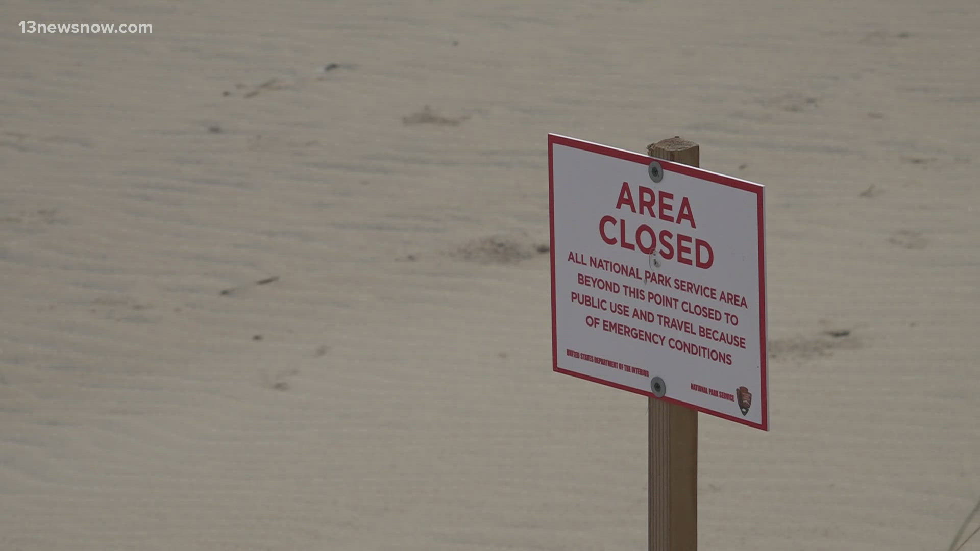
The NWS says excessive rainfall on top of saturated soils is what is causing the threat of localized flash flooding there.
Urban areas with poor drainage are at particular risk, as well as areas near rivers, creeks, streams and other low-lying and flood-prone locations.