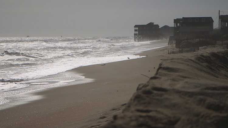
AVON, N.C. — Portions of Dare County are expected to experience coastal flooding, gusty winds, possible ocean overwash, record-low temperatures, and hazardous marine conditions beginning on Friday, the county said.
"The National Weather Service at Newport/Morehead City has issued a Coastal Flood Warning, as well as a High Wind Advisory, a High Surf Advisory and a Wind Chill Advisory. Gale Warnings are also in place for our coastal waters," the county said in an email Thursday.
The flood warning will be in place from 7 a.m. Friday, December 23 until 9 a.m. Saturday, December 24, according to the National Weather Service.
Additionally, NWS meteorologists issued high wind, high surf, and wind chill advisories for the Outer Banks.
West winds at 25 to 35 mph with gusts of up to 50 mph are expected on Friday from 7 a.m. to 6 p.m. The west wind will continue into the weekend, making soundside flooding a threat from Kitty Hawk to Hatteras Island, including Roanoke Island, well into late Saturday.
County officials said flooding may impact travel on roads that flood with persistent westerly winds and to avoid driving through any flooded roadways.
The wind chill advisory will be in effect for Dare County from 7 a.m. Friday to 9 a.m. Saturday. Arctic air will push into the region, reducing temperatures to possible record lows. These temperatures coupled with high winds could lower the wind chill to as low as zero degrees!