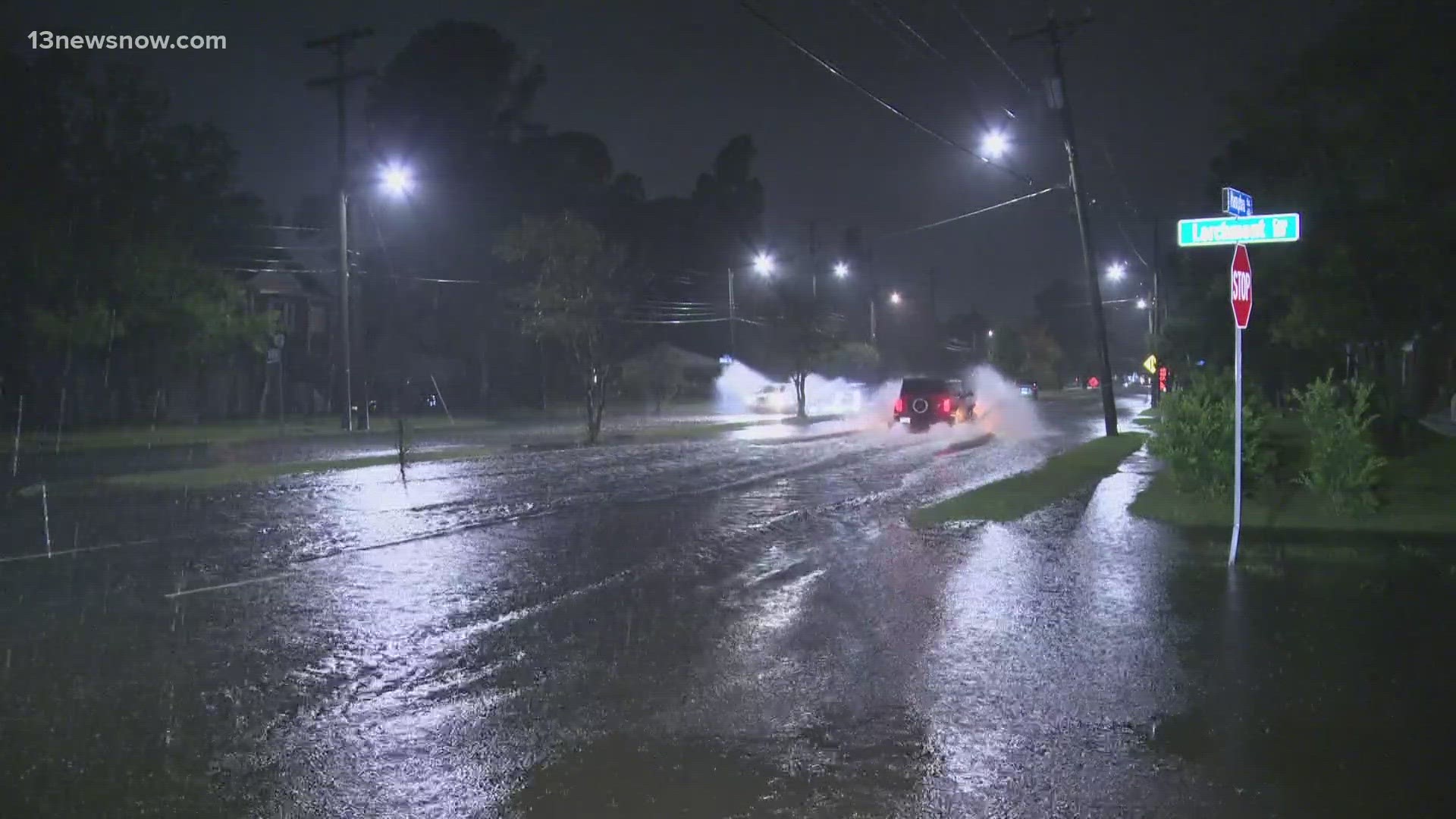
NORFOLK, Va. — It's no secret just how bad flooding can be in Norfolk. City leaders have rolled out a new interactive tool meant to track natural anti-flooding projects and gather community input at the same time.
The map is color-coordinated, highlighting different shoreline projects in different statuses and with different levels of priority.
People can highlight certain projects to not only learn more information about anti-flooding efforts but can leave comments or questions behind.
Several questions are already posted on the website, and people can create their own question markers to bring attention to areas they feel need more anti-flooding efforts.
It's a tool some Norfolk residents said they could see themselves using.
"I think it's overall a good idea," said Cat Little, a student at Old Dominion University. "The roads can get crazy flooded where we are, and if anything can help that - then great."
The City of Norfolk also invested $2.6 million into other anti-flooding ventures across the city. City planners are also working on a city-wide comprehensive plan they would like to see in place by sometime in 2025.

