JAMESTOWN, Va. (WVEC) – There’s a effort to combat and react to sea level rise at Historic Jamestowne.
A study group made up of several organizations is using high-tech tools to monitor ground water on Jamestown Island.
The group is trying to see how sea level rise impacts the island and its historic artifacts.
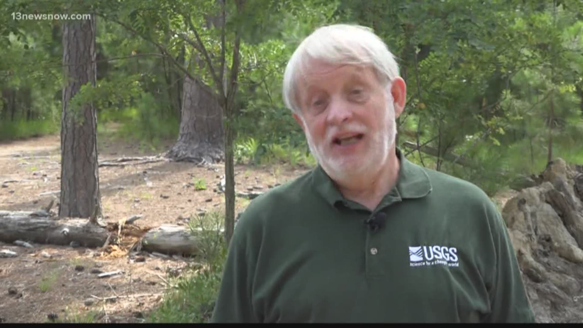
Gary Speiran is a research hydrologist with U.S. Geological Survey.
He said they're seeing is salty and acidic water around the island, which can cause historic artifacts to deteriorate, making it difficult for them to recover them.
USGS placed a series of wells at five different sites on the island to monitor the water quality.
Speiran is working alongside the National Park Service, and Jamestown Rediscovery.
Speiran said they're nearing the end of a three-year study and already submitted a request for more funding. He and other experts say sites on the island are in danger of being lost, so the idea is to plan ahead.
“If we can understand what's happening we can predict when different sites on the island are going to be impacted,” Speiran said. “We have important history on the island, and as sea level rises, the history that can revealed through the artifacts and the sites across the island will be lost.”
► Make it easy to keep up to date with more stories like this. Download the 13News Now App.

