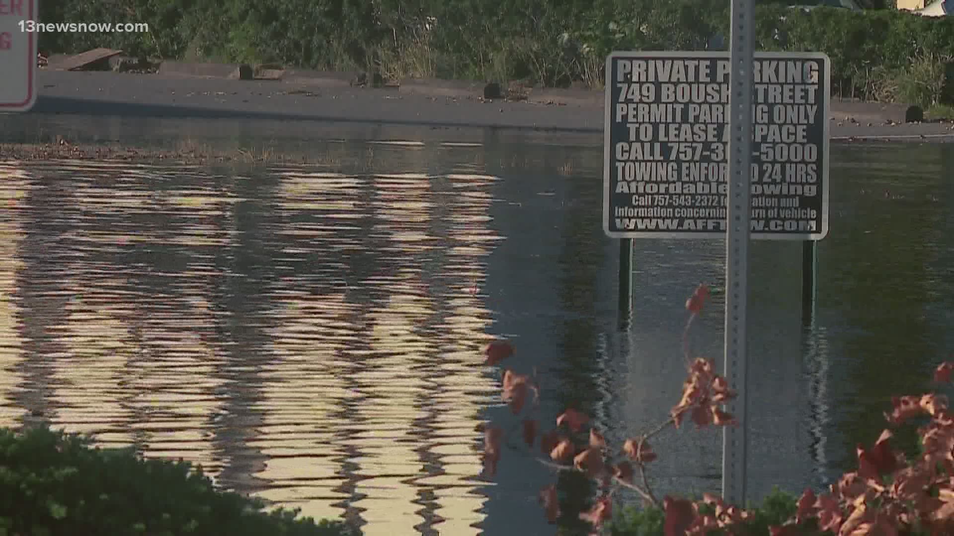
NORFOLK, Va. — If you’ve lived in Hampton Roads for a while, you’re no stranger to flooding.
It’s the most common and costly natural disaster in the Commonwealth.
On Thursday, Governor Ralph Northam announced the framework for the Virginia Coastal Resilience Master Plan. It’s the Commonwealth’s first project-driven Coastal Resilience Master Plan, which will be implemented by the end of 2021.
So far, $500 million will go toward implementing solutions to mitigate coastal flooding and sea-level rise in Virginia.
“The pandemic has changed many aspects of our lives, but not the fact that our planet is warming, land is sinking, sea levels are rising, and extreme weather events are more frequent and more severe,” Northam said. “The science is clear: climate change is threatening our way of life, and there is no time to waste. We must act quickly and decisively."
George McLeod, Assistant Director of Old Dominion University’s Center for Geospatial Science, Education and Analytics researched and created flood maps that will help guide the master plan.
McLeod served as the lead of the Future Sea Level and Recurrent Flooding Risk for Coastal Virginia report by the Commonwealth Center for Recurrent Flooding Resiliency (CCRFR).
"Historical data reveals that the number of days of nuisance flooding in Norfolk has doubled since 2000 and that trend is increasing throughout Coastal Virginia,” said McLeod.
It’s something he’s witnessed personally while commuting to his job at ODU over the last 15 years.
“Over the last 15 years, I’ve literally had to change my driving habits because of high-tide, sunny day flooding. More and more frequently, I’m having to take alternate routes and pay attention to know when those high king tides are to adjust my drive to work,” said McLeod.
The CCRDR report predicts that by 2040, 424 square miles of land in coastal Virginia will be at risk of permanent flooding. It also predicts 111,545 buildings in the Commonwealth are at risk of being below the tide line by 2040.
McLeod said the stakes are too high, particularly for the Hampton Roads region.
“Given our military infrastructure, given the Port of Virginia, one of the largest ports on the East Coast and the volume of military activity, it’s understood that this is an issue for the Commonwealth to address,” said McLeod.
The blueprint for the Coastal Resilience Master Plan divides the state into four planning regions. Under the blueprint, a committee will be established to figure out how each region will approach solutions and prioritize projects. The blueprint will also emphasize the critical need for green infrastructure to reduce flood risk.
McLeod said regional collaboration is key in order to mitigate flooding in the Commonwealth.
“I think we'll see more of those region-wide solutions, projects and activities that come from this,” said McLeod.
The CCRDR report also indicates more research is needed in order to capture the risk that storm surge poses to coastal areas on top of the risks posed by sea-level rise.

